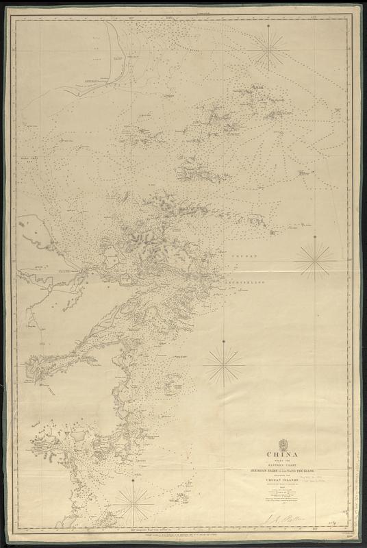
China : sheet VIII eastern coast Hieshan Isles to the Yang-Tse-Kiang including the Chusan Islands
Item Information
- Title:
- China : sheet VIII eastern coast Hieshan Isles to the Yang-Tse-Kiang including the Chusan Islands
- Issuing body:
- Great Britain. Hydrographic Department
- Surveyor:
- Collinson, Richard, Sir, 1811-1883
- Surveyor:
- Kellett, Henry, 1806-1875
- Engraver:
- J. & C. Walker (Firm)
- Name on Item:
-
surveyed by Captns. Kellett & Collinson R.N., 1843 ; J. & C. Walker sculpt.
- Date:
-
1849
- Format:
-
Maps/Atlases
- Genre:
-
Nautical charts
- Location:
-
Boston Public Library
Norman B. Leventhal Map & Education Center - Collection (local):
-
Norman B. Leventhal Map & Education Center Collection
- Subjects:
-
China--Maps
Coasts--China--Maps
Nautical charts--China
- Places:
-
China
- Extent:
- 1 map ; 93 x 61 cm
- Terms of Use:
-
No known copyright restrictions.
No known restrictions on use.
- Publisher:
-
[London] :
Hydrographic Office of the Admiralty
- Scale:
-
Scale approximately 1:300,000
- Language:
-
English
- Notes:
-
Relief shown by hachures. Depths shown by soundings and isolines.
"1199"--Lower right corner.
- Identifier:
-
06_01_017633
- Call #:
-
G9096.P5 svar .G74 no. 1199
- Barcode:
-
39999085960761


