Search Constraints
Search Results

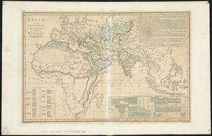
1. Afrika

2. Asien


7. Südamerika


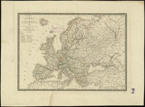


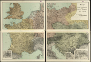
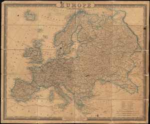
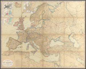
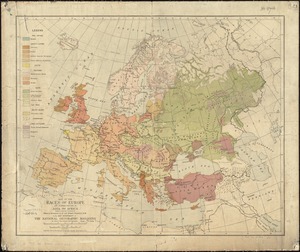
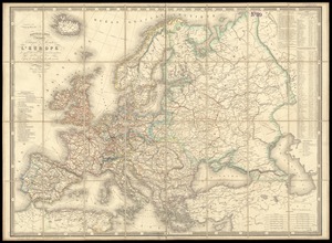
40. Europe
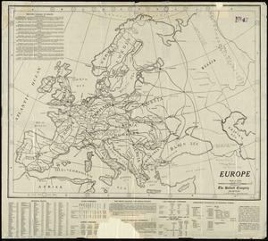
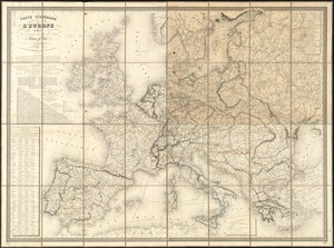
41. Europe
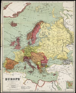
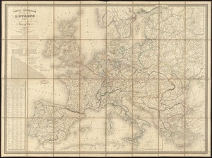
42. Europe
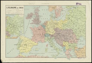
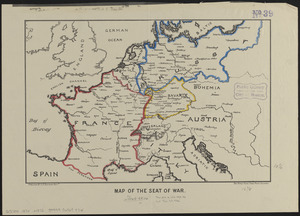
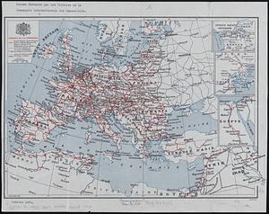
44. L'Europe de 1914

46. Evropa


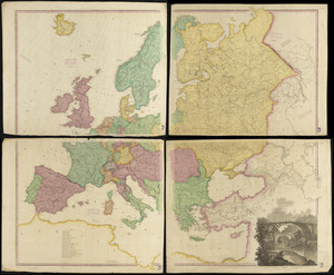

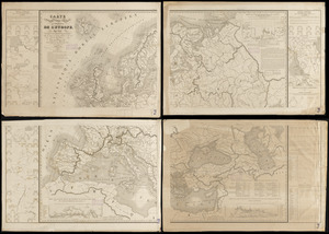
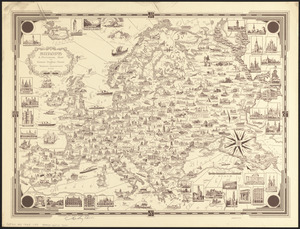
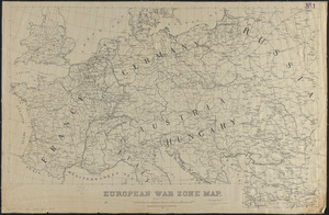
63. Maps of Europe


88. 1630 shoreline


94. 227 Harzgerode

95. 305 Glatz


![[A chart of Boston Bay and vicinity]](https://bpldcassets.blob.core.windows.net/derivatives/images/commonwealth:cj82m2976/image_thumbnail_300.jpg)
