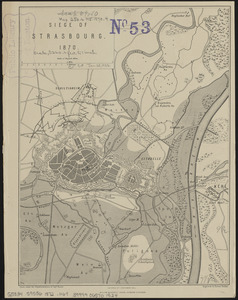
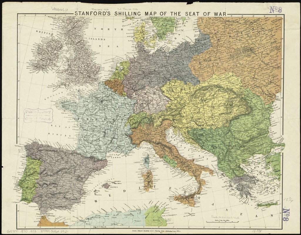
Stanford's shilling map of the seat of war
Item Information
- Title:
- Stanford's shilling map of the seat of war
- Panel title :
- Map of Europe
- Title (alt.) :
- Stanford's shilling map of the seat of war embracing the whole of France, Prussia and Spain : showing also the territories of the neighbouring powers and marking the fortified towns on the frontiers with all the naval depôts
- Creator:
- Stanford, Edward, 1827-1904
- Date:
-
1870
- Format:
-
Maps/Atlases
- Location:
-
Boston Public Library
Norman B. Leventhal Map & Education Center - Collection (local):
-
Norman B. Leventhal Map & Education Center Collection
- Subjects:
-
Franco-Prussian War, 1870-1871
Europe--Maps
- Places:
-
Europe
Europe
- Extent:
- 1 map : color ; 41 x 53 cm, folded to 23 x 15 cm
- Terms of Use:
-
No known copyright restrictions.
No known restrictions on use.
- Publisher:
-
London :
Edward Stanford,
- Scale:
-
Scale approximately 1:6,625,000
- Language:
-
English
- Notes:
-
Relief shown by hachures.
- Identifier:
-
06_01_012026
- Call #:
-
G5700 1870 .S73
- Barcode:
-
39999065692921