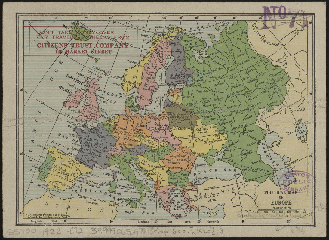
Political map of Europe

Item Information
- Title:
- Political map of Europe
- Title (alt.):
-
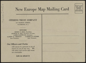
New Europe map mailing card
- Publisher:
- C.S. Hammond & Company
- Date:
-
[ca. 1920–1922]
- Format:
-
Maps/Atlases
- Location:
-
Boston Public Library
Norman B. Leventhal Map & Education Center - Collection (local):
-
Norman B. Leventhal Map & Education Center Collection
- Subjects:
-
Europe--Maps
- Places:
-
Europe
Europe
- Extent:
- 1 map : color ; 12 x 17 cm
- Terms of Use:
-
No known copyright restrictions.
No known restrictions on use.
- Publisher:
-
N.Y. :
C.S. Hammond & Co.
- Scale:
-
Scale approximately 1:34,800,000
- Language:
-
English
- Notes:
-
Printed on the verso of New Europe map mailing card.
This particular edition was prepared for Citizens Trust Company, Peterson, N.J.
- Identifier:
-
06_01_012487
06_01_016667
- Call #:
-
G5700 1922 .C72
- Barcode:
-
39999065697813


