Philips' new commercial map of Europe
Item Information
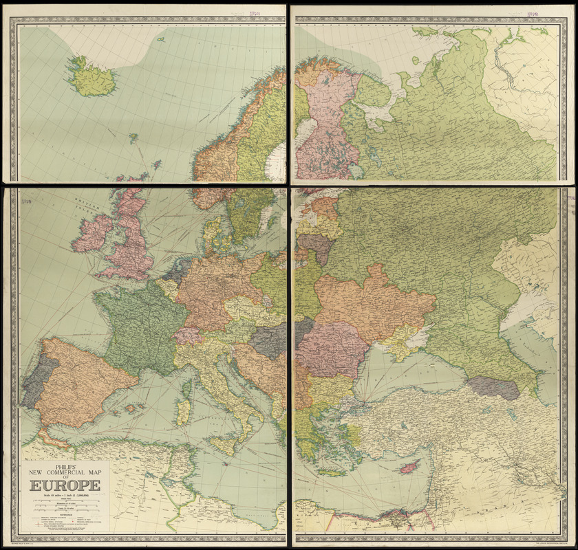
- Title:
- Philips' new commercial map of Europe
- Title (alt.):
-
New commercial map of Europe
- Cartographer:
- George Philip & Son
- Date:
-
1920
- Format:
-
Maps/Atlases
- Location:
-
Boston Public Library
Norman B. Leventhal Map & Education Center - Collection (local):
-
Norman B. Leventhal Map & Education Center Collection
- Subjects:
-
Europe--Maps
- Places:
-
Europe
Europe
- Extent:
- 1 map on 4 sheets : color ; 162 x 177 cm, on sheets 117 x 93 cm and 60 x 93 cm
- Terms of Use:
-
No known copyright restrictions.
No known restrictions on use.
- Publisher:
-
[London] :
London Geographical Institute
- Scale:
-
Scale 1:3,000,000
- Language:
-
English
- Notes:
-
Date of publication taken from date of acquisition.
- Identifier:
-
06_01_012280
- Call #:
-
G5700 1920 .G46
- Barcode:
-
39999065696088


