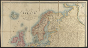
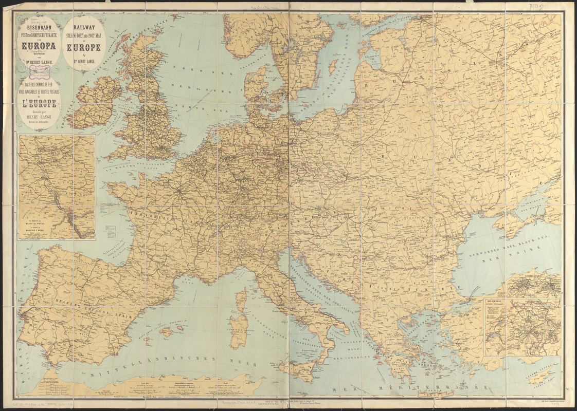
Eisenbahn, post und dampfschiffskarte von Europa = Railway, steam-boat and post map of Europe = Carte des chemins de fer, voies navigables et routes postales de l'Europe
Item Information
- Title:
- Eisenbahn, post und dampfschiffskarte von Europa = Railway, steam-boat and post map of Europe = Carte des chemins de fer, voies navigables et routes postales de l'Europe
- Cartographer:
- Lange, Henry, 1821-1893
- Name on Item:
-
bearbeitet von Dr. Henry Lange
- Date:
-
[1866?]
- Format:
-
Maps/Atlases
- Location:
-
Boston Public Library
Norman B. Leventhal Map & Education Center - Collection (local):
-
Norman B. Leventhal Map & Education Center Collection
- Subjects:
-
Railroads--Europe--Maps
Steamboat lines--Europe--Maps
Post roads--Europe--Maps
Europe--Maps
- Places:
-
Europe
Europe
- Extent:
- 1 map : color ; 71 x 101 cm
- Terms of Use:
-
No known copyright restrictions.
No known restrictions on use.
- Publisher:
-
Berlin :
Stilke und van Muyden
- Scale:
-
Scale 1:4,000,000
- Language:
-
German
English
French
- Notes:
-
Prime meridians: Paris and Greenwich.
Insets: Der Rhein von Mainz bis Wesel = Le Rhin de Mayence à Wesel -- Die Schweiz = La Suisse = Switzerland -- Londres & Paris.
In German, English and French.
- Identifier:
-
06_01_014121
- Call #:
-
G5701.P1 1866 .L36
- Barcode:
-
39999065699181