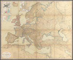
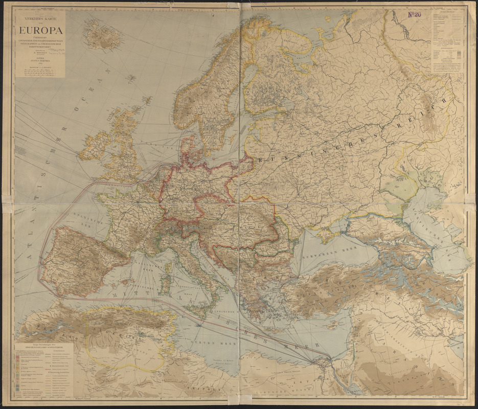
Verkehrs-karte von Europa : übersichts grösserer eisenbahnverbindungen, telegraphen und überseeischer dampfschiffahrt
Item Information
- Title:
- Verkehrs-karte von Europa : übersichts grösserer eisenbahnverbindungen, telegraphen und überseeischer dampfschiffahrt
- Cartographer:
- Berghaus, Hermann, 1828-1890
- Lithographer:
- Risch, M.
- Publisher:
- Justus Perthes (Firm : Gotha, Germany)
- Name on Item:
-
entworfen von H. Berghaus ; gez. von M. Risch
- Date:
-
1885
- Format:
-
Maps/Atlases
- Location:
-
Boston Public Library
Norman B. Leventhal Map & Education Center - Collection (local):
-
Norman B. Leventhal Map & Education Center Collection
- Subjects:
-
Post roads--Europe--Maps
Railroads--Europe--Maps
Shipping--Europe--Maps
Telegraph lines--Europe--Maps
Europe--Maps
- Places:
-
Europe
Europe
- Extent:
- 1 map : color ; 98 x 116 cm
- Terms of Use:
-
No known copyright restrictions.
No known restrictions on use.
- Publisher:
-
Gotha :
Justus Perthes
- Scale:
-
Scale 1:5,000,000
- Language:
-
German
- Notes:
-
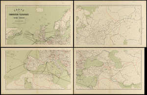
Shows telegraph lines, railroads, post roads and steam ship routes.
Relief shown by gradient tints and spot heights.
- Identifier:
-
06_01_014128
- Call #:
-
G5701.P1 1885 .B47
- Barcode:
-
39999065699082