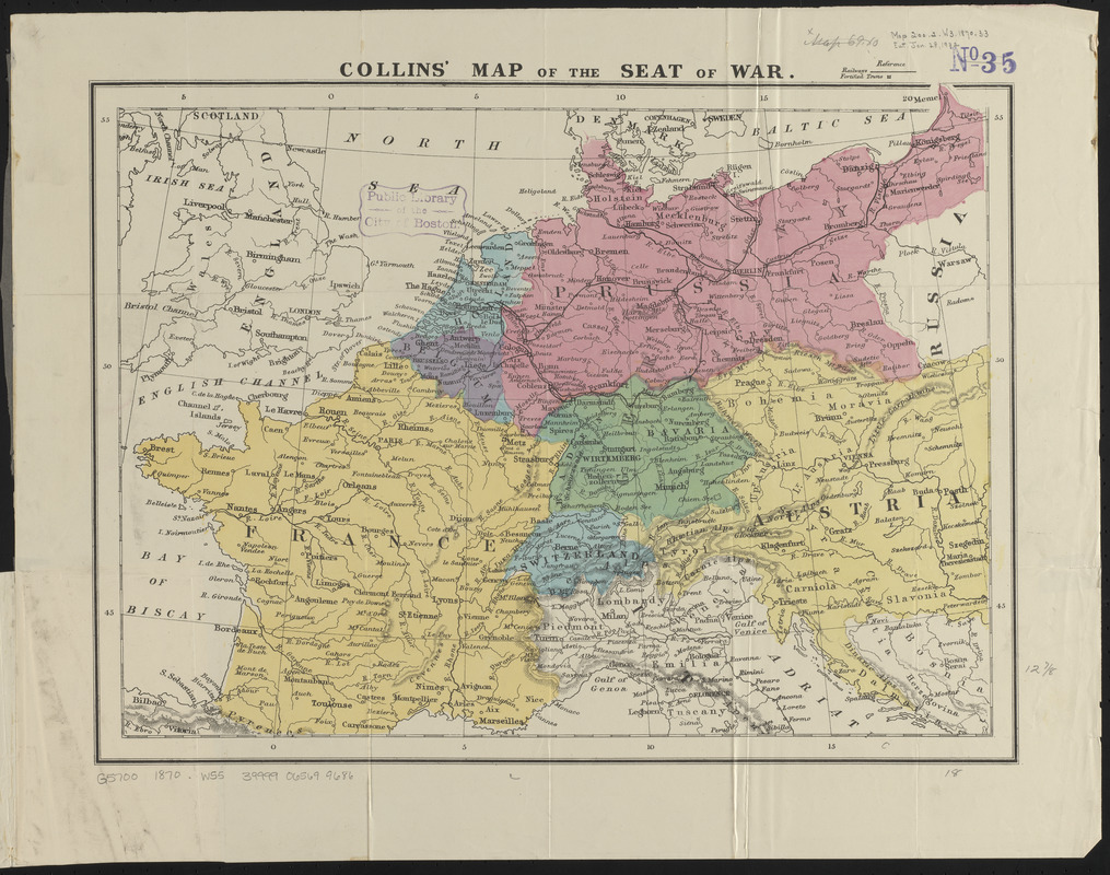
Collins' map of the seat of war
Item Information
- Title:
- Collins' map of the seat of war
- Publisher:
- William Collins Sons and Co.
- Date:
-
1870
- Format:
-
Maps/Atlases
- Location:
-
Boston Public Library
Norman B. Leventhal Map & Education Center - Collection (local):
-
Norman B. Leventhal Map & Education Center Collection
- Subjects:
-
Franco-Prussian War, 1870-1871--Maps
Europe--Maps
- Places:
-
Europe
Europe
- Extent:
- 1 map : color ; 35 x 46 cm, folded in cover 16 x 12 cm
- Terms of Use:
-
No known copyright restrictions.
No known restrictions on use.
- Publisher:
-
London :
William Collins, Sons & Co.
- Scale:
-
Scale approximately 1:4,360,000
- Language:
-
English
- Notes:
-
Relief shown by hachures.
Publication information from cover.
- Identifier:
-
06_01_014072
- Call #:
-
G5700 1870 .W55
- Barcode:
-
39999065699686


