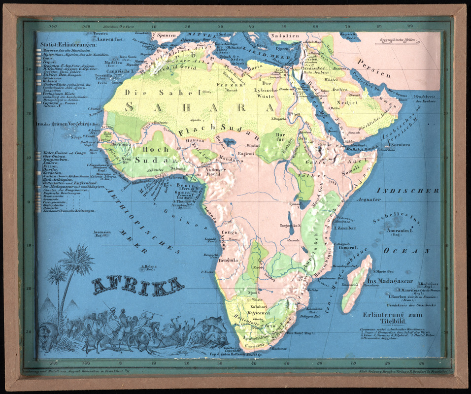
Afrika
Item Information
- Title:
- Afrika
- Description:
-
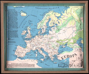
Three-dimensional relief maps are visual aids that assist schoolchildren in understanding physical terrain. The first relief maps were created in China, and appeared in Europe in the late 18th century. This German map was created for children, and is part of a larger set of commercially produced maps depicting each continent.
- Cartographer:
- Ravenstein, August
- Name on Item:
-
herausgegeben von Aug. Ravenstein
- Date:
-
1865
- Format:
-
Maps/Atlases
- Location:
-
Boston Public Library
Norman B. Leventhal Map & Education Center - Collection (local):
-
Norman B. Leventhal Map & Education Center Collection
- Subjects:
-
Children's maps--Germany
Relief models--Specimens
Africa--Maps
- Places:
-
Africa
Africa
- Extent:
- 1 raised relief map : color ; 23 x 28 cm
- Terms of Use:
-
No known copyright restrictions.
No known restrictions on use.
- Publisher:
-
Frankfurt am Main :
B. Dondorf
- Edition:
- Fünfte ganz umgearbeitete auflage
- Scale:
-
Scale approximately 1:42,000,000
- Language:
-
German
- Notes:
-
In a set of 8 raised relief maps for schoolchildren, titled "Plastischer schul-atlas für die erste stufe des unterrichts in der erdkunde".
- Notes (exhibitions):
-
Exhibited: "Back to School: Geography in the Classroom" organized by the Norman B. Leventhal Map Center at the Boston Public Library, 2014-2015.
- Identifier:
-
06_01_012093
- Call #:
-
G1201.C18 1865 .R38
- Barcode:
-
39999065693622