Toggle navigation
LMEC Home
Exhibitions
Georeferencing
Tools for Teachers
Collections
My Favorites
Sign Up / Log In
Search
Search the map portal
Map Collection
Map Collection
Map Sets
Search
Search
Search for
Search In
All Fields
Creator
Title
Subject
Place
Search All Digital Collections
Advanced Search
8647 Results
My Search
Start Over
More Like
commonwealth:3f463355z
Remove constraint More Like: commonwealth:3f463355z
Filter your Search
Place
North and Central America
5,887
United States
4,805
Massachusetts
2,068
Europe
1,392
Suffolk (county)
1,041
Boston
1,014
Canada
449
Asia
437
more
Place
»
Topic
Boston (Mass.)--Maps
582
United States--Maps
279
Real property--Massachusetts--Boston--Maps
175
Massachusetts--Maps
161
Landowners--Massachusetts--Boston--Maps
133
North America--Maps--Early works to 1800
103
New England--Maps
101
Europe--Maps
79
more
Topic
»
Date
Date range begin
–
Date range end
Current results range from
1482
to
2023
View distribution
Creator
United States. Hydrographic Office
595
O.H. Bailey & Co
148
Des Barres, Joseph F. W. (Joseph Frederick Wallet), 1722-1824
123
United States. Post Office Dept
120
Ptolemy, 2nd cent
100
Walling, Henry Francis, 1825-1888
94
Geological Survey (U.S.)
86
Jefferys, Thomas, -1771
85
more
Creator
»
Format
Maps/Atlases
8,587
Manuscripts
215
Prints
56
Books
36
Objects/Artifacts
10
Drawings/Illustrations
8
Posters
5
Georeferenced
Yes
870
No
7,777
Collection
Norman B. Leventhal Map & Education Center Collection
8,646
Boston and New England Maps
2,221
Urban Maps
1,992
Maritime Charts and Atlases
1,083
American Revolutionary War-Era Maps
616
Boston Redevelopment Authority Collection
87
American Antiquarian Society Collection
1
Available to use
No known restrictions
8,504
Creative Commons license
47
Search Constraints
Sort by relevance
relevance
title
date (asc)
date (desc)
Number of results to display per page
20 per page
10
per page
20
per page
50
per page
100
per page
View results as:
grid view
map view
Search Results
1.
Asien
2.
Australien und Polynesien
3.
Deutschland nebst den königreichen Holland, Belgien und der republik Schweiz
4.
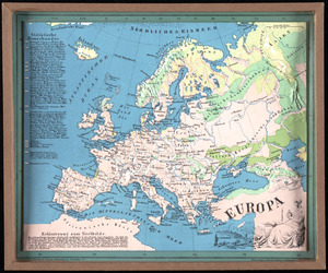
Europa
5.
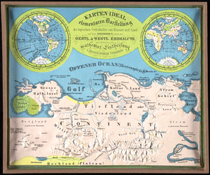
Karten-ideal zur elementaren darstellung der topischen verhältnisse von wasser und land auf dem erdboden, nebst der Oestl. &...
6.
Nord-u. Mittel-Amerika
7.
Südamerika
8.
Plastischer schul-atlas
9.
Africa
10.
Africa
11.
Africa
12.
Africa
13.
Africa
14.
Africa according to the best authorities
15.
Africa, including the Mediterranean
16.
Africa January rainfall -- Africa July rainfall
17.
Africa vegetation
18.
Afrika
19.
Afrique
20.
Afrique 1899
‹ Prev
Next ›
1
2
3
4
5
…
432
433