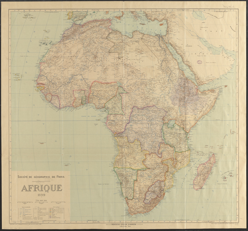
Afrique 1899
Item Information
- Title:
- Afrique 1899
- Cartographer:
- Hansen, Jules, 1849-1931
- Publisher:
- Maison Andriveau-Goujon (Firm)
- Cartographer:
- Société de géographie (France)
- Publisher:
- Barrère, Henry
- Name on Item:
-
dessinée par J. Hansen ; Société de Géographie de Paris
- Date:
-
1899
- Format:
-
Maps/Atlases
- Location:
-
Boston Public Library
Norman B. Leventhal Map & Education Center - Collection (local):
-
Norman B. Leventhal Map & Education Center Collection
- Subjects:
-
Africa--Maps
- Places:
-
Africa
Africa
- Extent:
- 1 map : color ; 85 x 91 cm
- Terms of Use:
-
No known copyright restrictions.
No known restrictions on use.
- Publisher:
-
Paris :
Maison Andriveau-Goujon, H. Barrère
- Scale:
-
Scale 1:10,000,000
- Language:
-
French
- Notes:
-
Relief shown by hachures and spot heights.
Prime meridians: Greenwich and Paris.
"Carte dressée en 1895, mise à jour en 1897 et en 1899."
- Identifier:
-
06_01_015364
- Call #:
-
G8200 1899 .H36
- Barcode:
-
39999085935771


