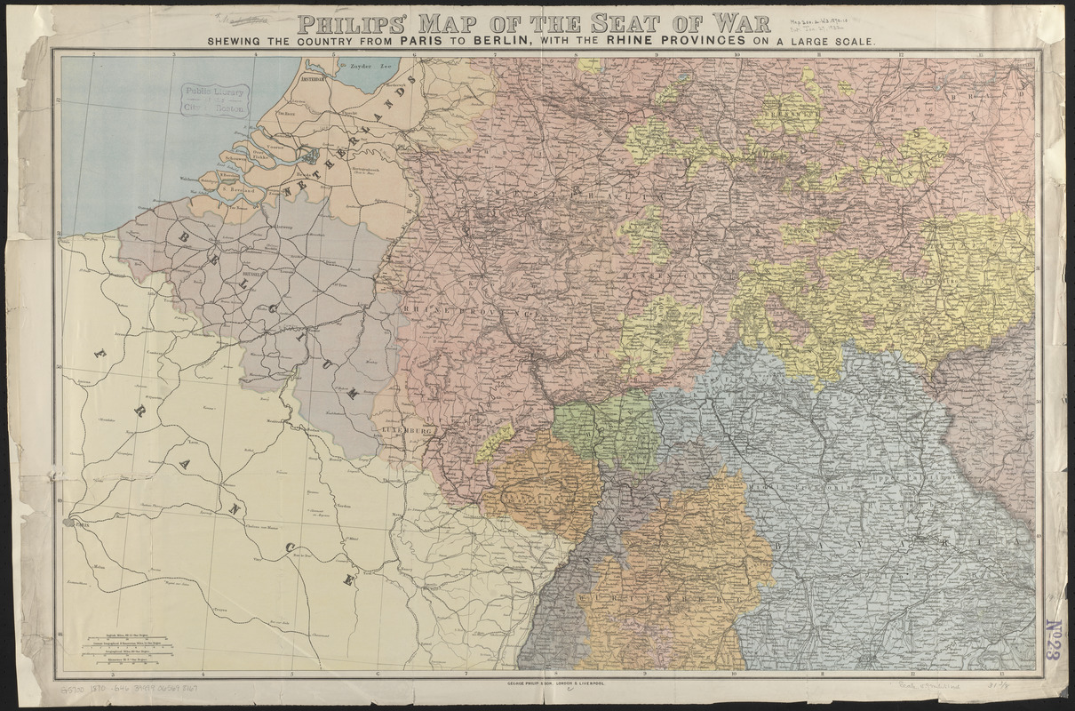
Philips' map of the seat of war shewing the country from Paris to Berlin, with the Rhine Provinces on a large scale
Item Information
- Title:
- Philips' map of the seat of war shewing the country from Paris to Berlin, with the Rhine Provinces on a large scale
- Title (alt.):
-
Philips new map of the seat of war extending from Paris to Berlin with the Rhine Provinces, on a large scale
- Publisher:
- George Philip & Son
- Date:
-
[1870]
- Format:
-
Maps/Atlases
- Location:
-
Boston Public Library
Norman B. Leventhal Map & Education Center - Collection (local):
-
Norman B. Leventhal Map & Education Center Collection
- Subjects:
-
Franco-Prussian War, 1870-1871--Maps
Europe--Maps
- Places:
-
Europe
Europe
- Extent:
- 1 map : color ; 51 x 80 cm, folded in cover 20 x 13 cm
- Terms of Use:
-
No known copyright restrictions.
No known restrictions on use.
- Publisher:
-
London :
George Philip & Son
- Scale:
-
Scale approximately 1:1,000,000
- Language:
-
English
- Notes:
-
Relief shown by hachures.
- Notes (date):
-
This date is inferred.
- Identifier:
-
06_01_014022
- Call #:
-
G5700 1870 .G46
- Barcode:
-
39999065698167


