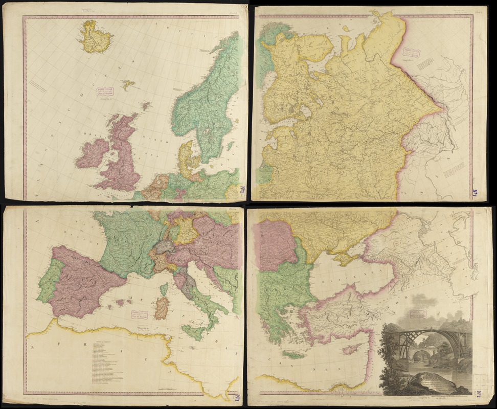
Map of Europe : drawn from all the best surveys and rectified by astronomical observations
Item Information
- Title:
- Map of Europe : drawn from all the best surveys and rectified by astronomical observations
- Cartographer:
- Arrowsmith, A.
- Publisher:
- Tanner, Henry Schenck, 1786-1858
- Engraver:
- W. & S. Harrison
- Name on Item:
-
by A. Arrowsmith ; engraved by W. & S. Harrison
- Date:
-
1831
- Format:
-
Maps/Atlases
- Location:
-
Boston Public Library
Norman B. Leventhal Map & Education Center - Collection (local):
-
Norman B. Leventhal Map & Education Center Collection
- Subjects:
-
Europe--Maps
- Places:
-
Europe
Europe
- Extent:
- 1 map on 4 sheets : hand colored ; 128 x 144 cm, on sheets 67 x 83 cm
- Terms of Use:
-
No known copyright restrictions.
No known restrictions on use.
- Publisher:
-
Philadelphia :
H.S. Tanner
- Scale:
-
Scale approximately 1:3,800,000
- Language:
-
English
- Notes:
-
Relief shown pictorially.
Includes notes, key to states of Germany, and decorative title vignette depicting bridges over a river.
"Edition, materially improved to 1831 and published by H.S. Tanner, Philadelphia."
- Identifier:
-
06_01_012017
- Call #:
-
G5700 1831 .A77
- Barcode:
-
39999065692996


