Search Constraints
Search Results


5. Boston I

6. Boston II


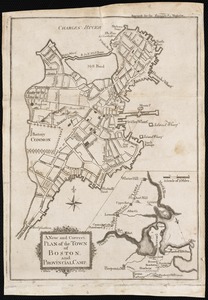
10. Plan of Boston


15. Plan of Boston


20. Plan of Boston

21. Plan of Boston


29. Boston

30. Boston

31. Plan of Boston


54. Boston


58. Hafen von Boston


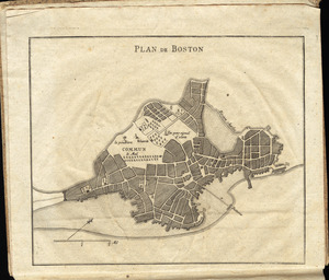
80. Plan de Boston


![[Battle of Bunker Hill]](https://bpldcassets.blob.core.windows.net/derivatives/images/commonwealth:z603vj11x/image_thumbnail_300.jpg)


![[Map of Boston]](https://bpldcassets.blob.core.windows.net/derivatives/images/commonwealth:z603vw17n/image_thumbnail_300.jpg)