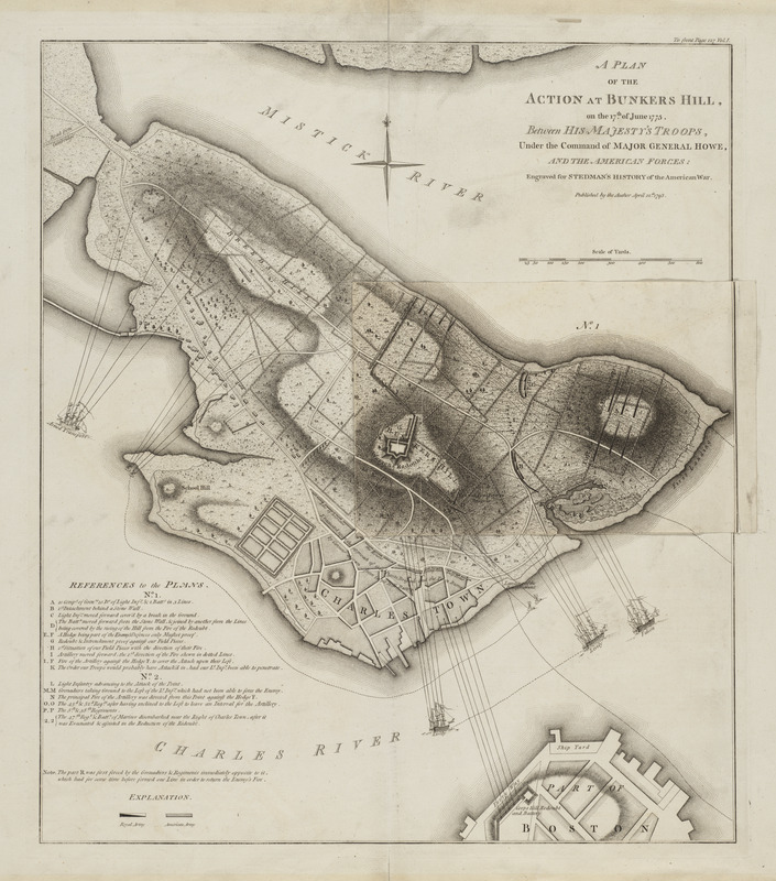
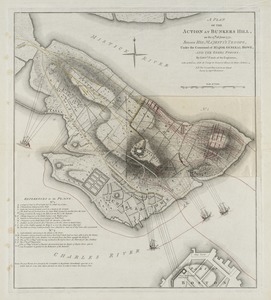
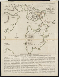
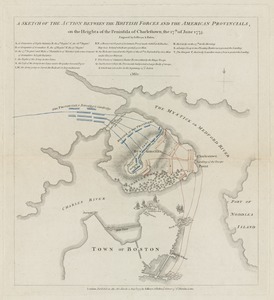
A plan of the action at Bunkers Hill on the 17th of June 1775 between His Majesty's troops, under the command of Major General Howe, and the American forces
This map is also available in American Revolutionary Geographies Online (ARGO), a collections portal especially built for material relating to the American Revolutionary War Era. Visit ARGO to learn more about this item and explore the historical geography of North America in the late eighteenth century.
Item Information
- Title:
- A plan of the action at Bunkers Hill on the 17th of June 1775 between His Majesty's troops, under the command of Major General Howe, and the American forces
- Description:
-
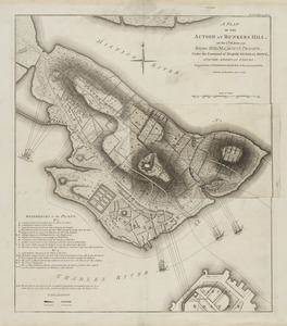
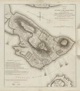
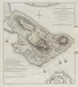
Page, an English military engineer who served as aide de campe to General Howe during the action, prepared this detailed plan of the Battle of Bunker Hill. It is the best known and most commonly reproduced plan of the battle. Originally published shortly after the battle, this copy appeared in 1793, accompanying Stedman's History of the American War. It depicts redoubts, fences, and hedgerows in great detail, as well as the lines of march of attacking forces, British ships, and the Corps Hill battery with lines of fire.
- Cartographer:
- Page, Thomas Hyde, Sir, 1746-1821
- Contributor:
- Stedman, C. (Charles), 1753-1812
- Surveyor:
- Montrésor, John, 1736-1799
- Date:
-
1793
- Format:
-
Maps/Atlases
- Location:
- Private Collection
- Collection (local):
-
Mapping Boston Collection
- Subjects:
-
Bunker Hill, Battle of, Boston, Mass., 1775--Maps--Early works to 1800
Boston (Mass.)--History--Revolution, 1775-1783--Maps--Early works to 1800
- Places:
-
MassachusettsSuffolk (county)BostonCharlestown
MassachusettsSuffolk (county)BostonBunker Hill
- Extent:
- 1 map : color ; 49 x 42 cm
- Terms of Use:
-
No known copyright restrictions.
No known restrictions on use.
- Publisher:
-
[London] :
Published by the author
- Scale:
-
Scale approximately 1:4,800
- Language:
-
English
- Notes:
-
Shows lines of fire.
Relief shown by hachures.
Overlay tipped on to middle right. Overlay, designated no. 1, shows the first position of the troops. Main map, designated no. 2, shows the second position.
"Engraved for Stedman's History of the American War."
Upper right corner: "To front page 127 Vol. 1."
From: Charles Stedman's The history of the origin, progress, and termination of the American war. London : Printed for the author, and sold by J. Murray [etc.], 1794.
- Identifier:
-
06_01_001272
06_01_001273
- Barcode:
-
39999052508080
 IIIF Manifest