Search Constraints
Search Results


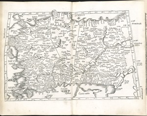
12103. Südamerika

12104. Sudan
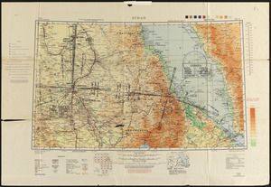
12105. Sudan


12108. Suffolcia vernacula Suffolke


12111. Sullivans Island

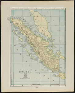
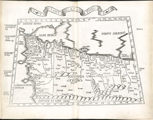
12113. Sumatra

12114. Sumatra wegenkaart


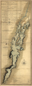
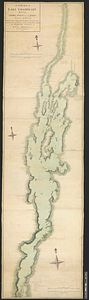
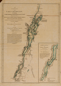
12116. Sunapee Lake, New Hampshire


12122. Surria : vernacule Surrey


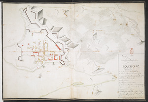
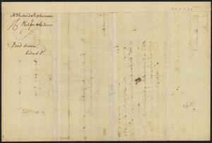
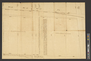
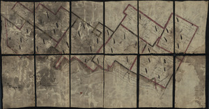
![[Survey of a property on the Boxford-Rowley line]](https://bpldcassets.blob.core.windows.net/derivatives/images/commonwealth:9s161g503/image_thumbnail_300.jpg)

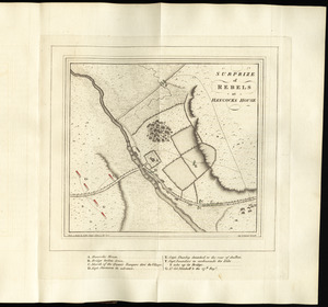
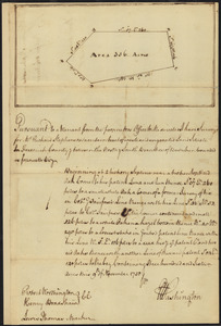
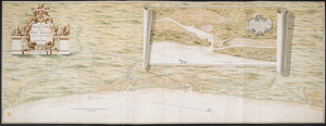
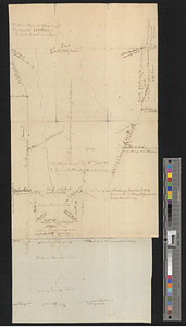
![A survey of Frog's Neck and the rout[e] of the British Army](https://bpldcassets.blob.core.windows.net/derivatives/images/commonwealth:q524n8606/image_thumbnail_300.jpg)


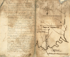
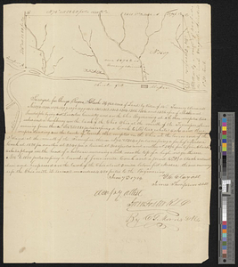
12152. Survey on Red River

12156. Susquehanna & Sinnemahoning

12157. Suthsexia : vernacule Sussex
![Sutton's Mills (Massachusetts Corporation), North Andover, Mass. [insurance map]](https://bpldcassets.blob.core.windows.net/derivatives/images/commonwealth:ww72bz26b/image_thumbnail_300.jpg)


12163. Sydney coal field

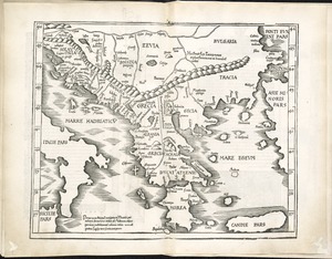
12164. Syria


12167. System of state roads
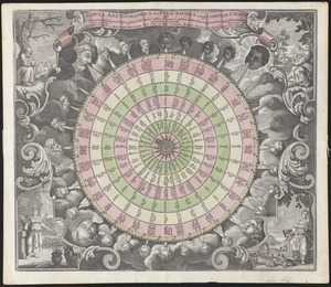
![Systema ideale quo exprimitur, aquarum per canales hydragogos subterraneos ex mari et in montium hydrophylacia protrusio, aquarumq[ue] subterrestrium per pyragogos canales concoctus](https://bpldcassets.blob.core.windows.net/derivatives/images/commonwealth:n8710p89m/image_thumbnail_300.jpg)

12169. T 1980 system map

12170. T system map : 1978-1979

12171. T system map

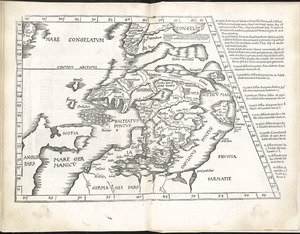
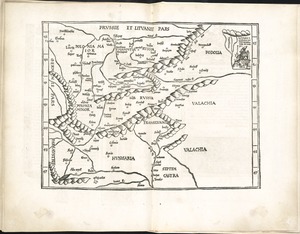
12172. Ta. here. Helve

12173. Ta. mo. Galliae

12174. Ta. mo. Germa
12176. Ta. no. Italiae
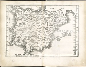
12178. Tab. mo. Hispan
12181. Tab. moderna Indiae
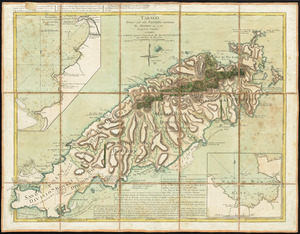
12183. Tabago
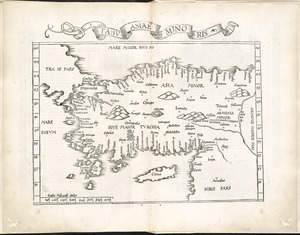
12185. Tabu. Asiae minoris
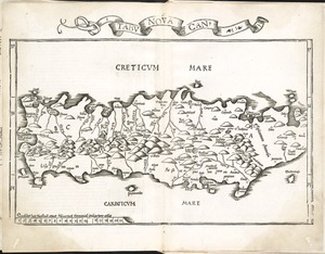
12187. Tabu. nova Can
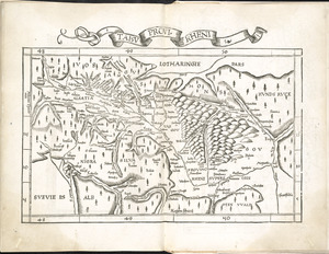
12188. Tabu. provi. Rheni
![Tabu. provi. Rheni [verso]](https://bpldcassets.blob.core.windows.net/derivatives/images/commonwealth:3f462s27r/image_thumbnail_300.jpg)
12189. Tabu. provi. Rheni [verso]
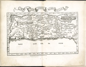
12190. Tabu. terre Sanctae
12196. Tabula generalis Sabaudiae
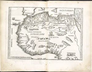
12199. Tabula I Aphri