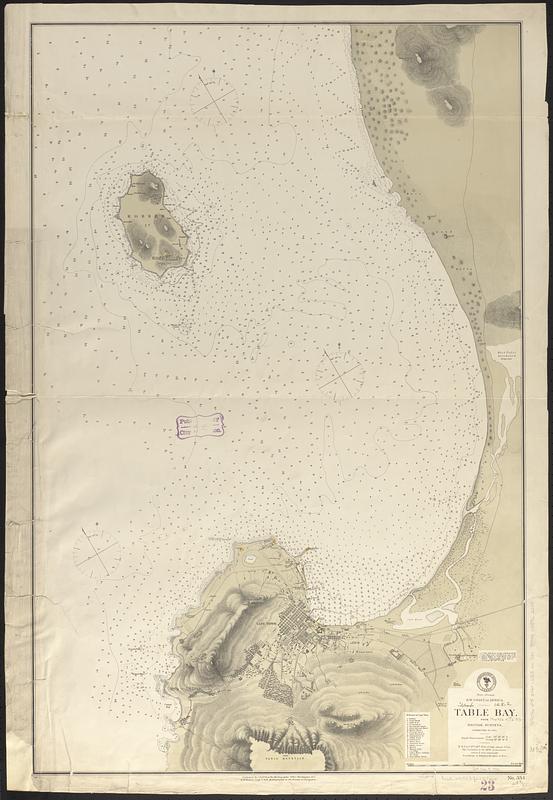
S.w. coast of Africa, Table Bay : from British surveys, corrected to 1872
Item Information
- Title:
- S.w. coast of Africa, Table Bay : from British surveys, corrected to 1872
- Issuing body:
- United States. Hydrographic Office
- Date:
-
[1876]
- Format:
-
Maps/Atlases
- Genre:
-
Nautical charts
- Location:
-
Boston Public Library
Norman B. Leventhal Map & Education Center - Collection (local):
-
Norman B. Leventhal Map & Education Center Collection
- Subjects:
-
Table Bay (South Africa)--Maps
Cape Town (South Africa)--Maps
Nautical charts--South Africa--Table Bay
- Places:
-
South AfricaWestern Cape (province)Table Bay
South AfricaWestern Cape (province)Cape Town
- Extent:
- 1 map ; 91 x 60 cm
- Terms of Use:
-
No known copyright restrictions.
No known restrictions on use.
- Publisher:
-
Washington, D.C. :
Hydrographic Office
- Scale:
-
Scale approximately 1:27,000
- Language:
-
English
- Notes:
-
Relief shown by hachures and spot heights. Depths shown by soundings and isolines.
Includes references to points of interest.
"Cor. (VIII.76)."
- Notes (date):
-
This date is inferred.
- Identifier:
-
06_01_017708
- Call #:
-
G9096.P5 svar .U55 no. 334
- Barcode:
-
39999085962205


