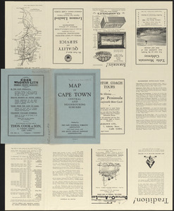
Map of Cape Town central and neighbouring suburbs


Item Information
- Title:
- Map of Cape Town central and neighbouring suburbs
- Issuing body:
- Cape Peninsula Publicity Association
- Issuing body:
- South African Railways and Harbours
- Name on Item:
-
issued by the Cape Peninsula Publicity Association and the South African Railways Administration
- Date:
-
[ca. 1920–1929]
- Format:
-
Maps/Atlases
- Location:
-
Boston Public Library
Norman B. Leventhal Map & Education Center - Collection (local):
-
Norman B. Leventhal Map & Education Center Collection
- Subjects:
-
Cape Town (South Africa)--Maps
- Places:
-
South AfricaWestern Cape (province)Cape Town
- Extent:
- 1 map : color ; 61 x 46 cm, folded in cover 23 x 15 cm
- Terms of Use:
-
No known copyright restrictions.
No known restrictions on use.
- Publisher:
-
Cape Town :
Cape Peninsula Publicity Bureau
- Scale:
-
Scale approximately 1:15,840
- Language:
-
English
- Notes:
-
Oriented with north to the right.
Includes references.
Map, tourist information and advertisements on verso.
- Identifier:
-
06_01_016688
06_01_016689
- Call #:
-
G8504.C3E635 1920z .C37
- Barcode:
-
39999085935565


