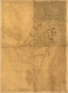
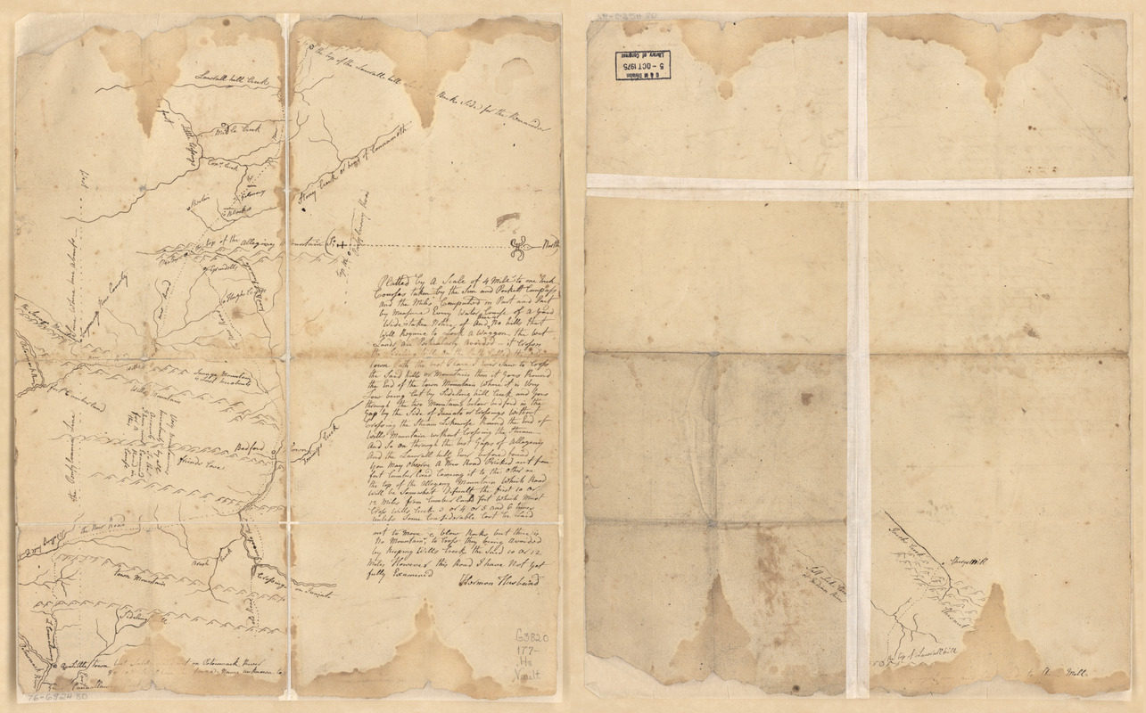
Survey of region embraced by Somerset, Bedford, and Fulton Counties and including Cumberland, Md.
This map is also available in American Revolutionary Geographies Online (ARGO), a collections portal especially built for material relating to the American Revolutionary War Era. Visit ARGO to learn more about this item and explore the historical geography of North America in the late eighteenth century.
Item Information
- Title:
- Survey of region embraced by Somerset, Bedford, and Fulton Counties and including Cumberland, Md.
- Creator:
- Husbands, Hermon, 1724-1795
- Name on Item:
-
[Signed] H[e?]rm[o?]n Husband[s?]
- Date:
-
[1770–1779]
- Format:
-
Maps/Atlases
Manuscripts
- Location:
- Library of Congress Geography and Map Division
- Collection (local):
-
Library of Congress Collection
- Subjects:
-
Pennsylvania--Maps, Manuscript--Early works to 1800
- Places:
-
Pennsylvania
- Extent:
- 1 manuscript map on sheet 43 x 34 cm.
- Terms of Use:
-
No known copyright restrictions.
This work is licensed for use under a Creative Commons Attribution Non-Commercial Share Alike License (CC BY-NC-SA).

- Scale:
-
Scale 1:253,440
- Language:
-
English
- Catalog Record:
-
https://lccn.loc.gov/76692480
- Notes:
-
Title from dealer's manuscript folder.
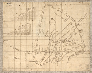
Continued on verso.
Manuscript, pen and ink.
Oriented with north to the right.
Relief shown pictorially.
Edges missing in places, some water damage causing writing to fade.
Includes text and descriptive notes.
- Notes (date):
-
This date is inferred.
- Notes (citation):
-
LC Maps of North America, 1750-1789, 1300
- Identifier:
-
ar130000z