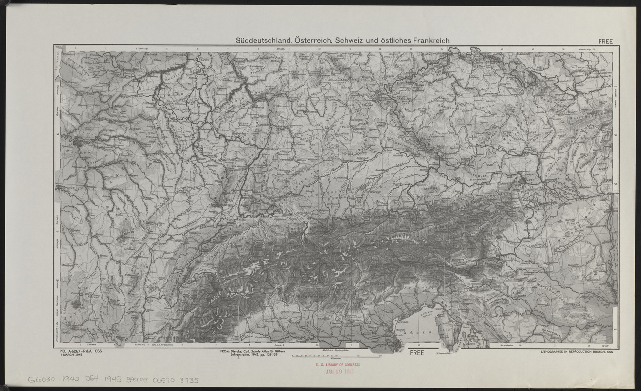
Süddeutschland, Österreich, Schweiz und östliches Frankreich
Item Information
- Title:
- Süddeutschland, Österreich, Schweiz und östliches Frankreich
- Cartographer:
- Diercke, Carl, 1842-1913
- Publisher:
- United States. Office of Strategic Services. Research and Analysis Branch
- Date:
-
1945
- Format:
-
Maps/Atlases
- Location:
-
Boston Public Library
Norman B. Leventhal Map & Education Center - Collection (local):
-
Norman B. Leventhal Map & Education Center Collection
- Subjects:
-
Europe, Central--Maps
- Places:
-
Central Europe (area)
- Extent:
- 1 map ; 25 x 46 cm
- Terms of Use:
-
No known copyright restrictions.
No known restrictions on use.
- Publisher:
-
[Washington] :
OSS
- Scale:
-
Scale approximately 1:2,800,000
- Language:
-
German
- Notes:
-
Relief shown by shading and spot heights.
"From: Diercke, Carl. Schule atlas für höhere lehranstalten, 1942. pp. 138-139."
"No. A-6267--R & A, OSS, 7 March 1945."
- Identifier:
-
06_01_014934
- Call #:
-
G6030 1942 .D54 1945
- Barcode:
-
39999065708735


