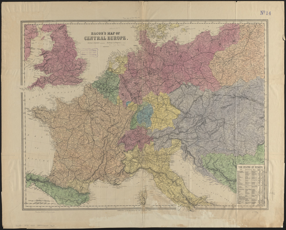
Bacon's map of Central Europe
Item Information
- Title:
- Bacon's map of Central Europe
- Title (alt.):
-
Bacon's new war map of Central Europe, including all of Prussia and France, England, Austria, Italy, &c.
- Publisher:
- G.W. Bacon & Co.
- Date:
-
[1870]
- Format:
-
Maps/Atlases
- Location:
-
Boston Public Library
Norman B. Leventhal Map & Education Center - Collection (local):
-
Norman B. Leventhal Map & Education Center Collection
- Subjects:
-
Europe, Central--Maps
- Places:
-
Central Europe (area)
- Extent:
- 1 map : color ; 59 x 77 cm
- Terms of Use:
-
No known copyright restrictions.
No known restrictions on use.
- Publisher:
-
London :
G.W. Bacon & Co.
- Scale:
-
Scale approximately 1:2,800,000
- Language:
-
English
- Notes:
-
Relief shown by hachures.
Includes statistics of states of Europe.
"No. 2"--cover.
- Notes (date):
-
This date is inferred.
- Identifier:
-
06_01_014086
- Call #:
-
G6030 1870 .B33
- Barcode:
-
39999065699637


