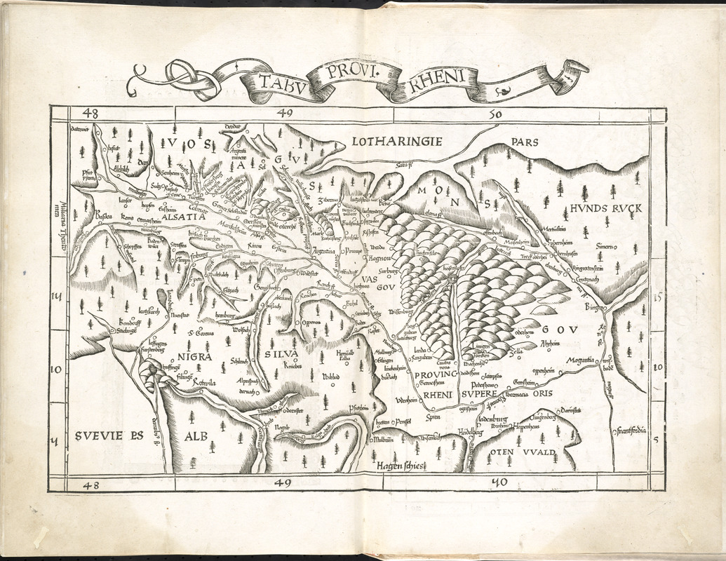
Tabu. provi. Rheni
Item Information
- Title:
- Tabu. provi. Rheni
- Cartographer:
- Ptolemy, active 2nd century
- Publisher:
- Grüninger, Johann, -1532?
- Date:
-
1525
- Format:
-
Maps/Atlases
- Location:
-
Boston Public Library
Norman B. Leventhal Map & Education Center - Collection (local):
-
Norman B. Leventhal Map & Education Center Collection
- Subjects:
-
Alsace-Lorraine (Germany)--Maps--Early works to 1800
Rhineland (Germany)--Maps--Early works to 1800
- Places:
-
GermanyRhineland (area)
Alsace-Lorraine (area)
- Extent:
- 1 map ; 25 x 40 cm
- Terms of Use:
-
No known copyright restrictions.
No known restrictions on use.
- Publisher:
-
Argentoragi :
Iohannes Grieningerus
- Scale:
-
Scale approximately 1:800,000
- Language:
-
Latin
- Notes:
-
Appears in the author's Geographia, translated by Willibald Pirckheimer, with annotations by Joannes Regiomontanus. Argentoragi [i.e. Strasbourg] : Iohannes Grieningerus, communibus Iohannis Koberger impensis excudebat, anno a Christi Natiuitate 1525 tertio Kal[endas] Apriles.
Cataloging, conservation, and digitization made possible in part by The National Endowment for the Humanities: Exploring the human endeavor.
Atlas scanned by Internet Archive http://archive.org/details/claudiiptolemaei00ptol
- Identifier:
-
06_01_008017
- Call #:
-
G1005 .P7 1525
- Barcode:
-
30000003788989
![Tabu. provi. Rheni [verso]](https://bpldcassets.blob.core.windows.net/derivatives/images/commonwealth:3f462s27r/image_thumbnail_300.jpg)


