Search Constraints
Search Results


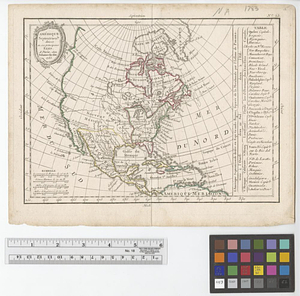
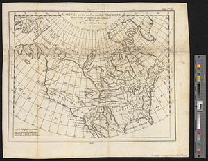
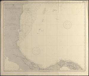
16. North America


19. Nth. America

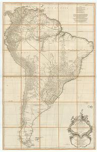


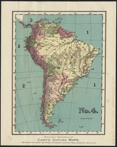


29. South America

30. South America

31. South America

32. South America

33. South America


35. Südamerika


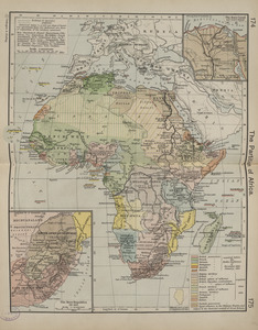
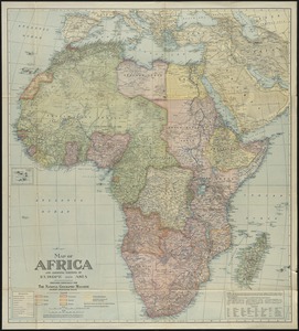
49. Africa

50. Africa

51. Africa

52. Africa

53. Africa


58. Afrika

59. Afrika

60. Afrique

61. Afrique 1899


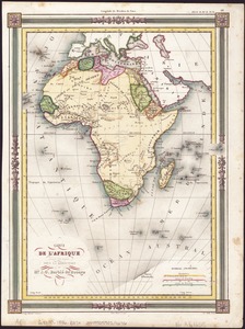


71. Northern Africa