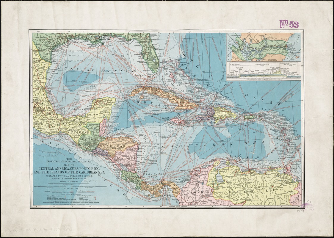
Map of Central America, Cuba, Porto Rico, and the islands of the Caribbean Sea
Item Information
- Title:
- Map of Central America, Cuba, Porto Rico, and the islands of the Caribbean Sea
- Title (alt.):
-
National Geographic magazine map of Central America, Cuba, Porto Rico, and the islands of the Caribbean Sea
- Creator:
- American Bank Note Company
- Name on Item:
-
prepared by the American Bank Note Co. ; Gilbert H. Grosvenor, editor.
- Date:
-
1913
- Format:
-
Maps/Atlases
- Location:
-
Boston Public Library
Norman B. Leventhal Map & Education Center - Collection (local):
-
Norman B. Leventhal Map & Education Center Collection
- Subjects:
-
Central America--Maps
West Indies--Maps
Caribbean Area--Maps
- Places:
-
Mesoamerica (area)
West Indies
Caribbean Sea
- Extent:
- 1 map : color ; 31 x 48 cm
- Terms of Use:
-
No known copyright restrictions.
No known restrictions on use.
- Publisher:
-
[Washington, D.C.] :
National Geographic Magazine,
- Scale:
-
Scale 1:9,000,000
- Language:
-
English
- Notes:
-
Also shows distances between major points.
Relief shown by hachures. Depths shown by isolines and gradient tints.
At head of title: The National Geographic Magazine.
Inset: [Panama Canal Zone and profile].
- Identifier:
-
06_01_011890
- Call #:
-
G4390 1913 .A44
- Barcode:
-
39999065690073
- LCCN:
-
2009580143


