Mapa de America sujecto à las observaciones astronomicas
This map is also available in American Revolutionary Geographies Online (ARGO), a collections portal especially built for material relating to the American Revolutionary War Era. Visit ARGO to learn more about this item and explore the historical geography of North America in the late eighteenth century.
Item Information
- Title:
- Mapa de America sujecto à las observaciones astronomicas
- Description:
-
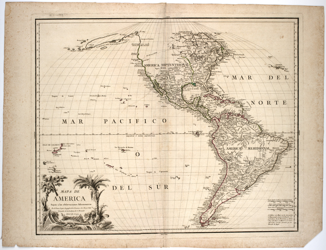
Subject: Map of North and South America and the Pacific islands. Cartouche shows a large iguana or alligator, palm tree and tropical bird.
- Creator:
- López de Vargas Machuca, Tomás, 1731-1802
- Name on Item:
-
par D. Tomàs Lopez, geografo de los Domanios de S.M. por Real Despacho, de la Academia de S. Fernando.
- Date:
-
1772
- Format:
-
Maps/Atlases
- Location:
- American Antiquarian Society
- Collection (local):
-
American Antiquarian Society Collection
- Subjects:
-
North America--Maps
South America--Maps
- Places:
-
South America
North America (area)
- Extent:
- 1 map : engraving, hand colored ; 49 x 60 cm., on sheet 56 x 73 cm.
- Terms of Use:
-
Public Domain/No known restrictions on use. Contact host institution to download image.
Contact host institution for more information.
- Publisher:
-
Madrid :
[s.n.]
- Scale:
-
Scale [ca 1:30,000,000]
- Language:
-
Spanish
- Catalog Record:
-
http://catalog.mwa.org/vwebv/holdingsInfo?bibId=480616
- Notes:
-
Relief shown pictorially.
- Notes (date):
-
anno 1772


