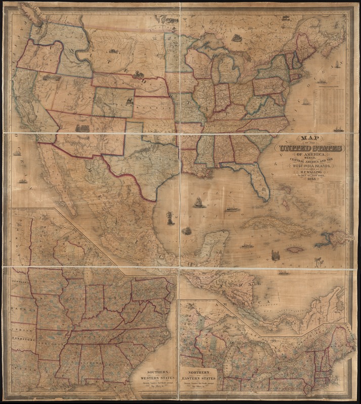
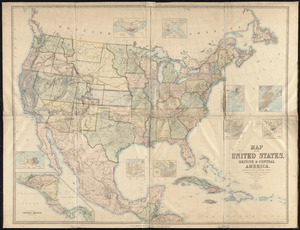
Map of the United States of America, Mexico, Central America, and the West India Islands
Item Information
- Title:
- Map of the United States of America, Mexico, Central America, and the West India Islands
- Creator:
- Walling, Henry Francis, 1825-1888
- Date:
-
1863
- Format:
-
Maps/Atlases
- Location:
-
Boston Public Library
Norman B. Leventhal Map & Education Center - Collection (local):
-
Norman B. Leventhal Map & Education Center Collection
- Subjects:
-
United States--Maps
Mexico--Maps
Central America--Maps
West Indies--Maps
- Places:
-
United States
Mexico
Mesoamerica (area)
West Indies
- Extent:
- 1 map : col. ; 159 x 139 cm.
- Terms of Use:
-
No known copyright restrictions.
No known restrictions on use.
- Publisher:
-
New York :
H. F. Walling
- Scale:
-
Scale [1:3,800,000]
- Language:
-
English
- Notes:
-
Relief shown by hachures.
Prime meridian: Washington, D.C.
Insets: Southern and western states -- Northern and eastern states.
Includes illustrations, "statistics of the United States," and "table of distances."
- Identifier:
-
06_01_008571
- Call #:
-
G3700 1863 .W35x
- Barcode:
-
39999065655100
 IIIF Manifest