W. & A.K. Johnston's maps to illustrate the Niger and Upper Nile questions
Item Information
- Title:
- W. & A.K. Johnston's maps to illustrate the Niger and Upper Nile questions
- Title (alt.):
-
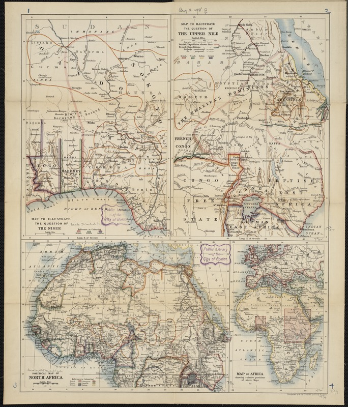
Maps to illustrate the Niger and Upper Nile questions
Map to illustrate the question of the Niger
Map to illustrate the question of the Upper Nile
Political map of Africa
Map of Africa
- Creator:
- W. & A.K. Johnston Limited
- Name on Item:
-
lithographed by W. & A.K. Johnston.
- Date:
-
1898
- Format:
-
Maps/Atlases
- Location:
-
Boston Public Library
Norman B. Leventhal Map & Education Center - Collection (local):
-
Norman B. Leventhal Map & Education Center Collection
- Subjects:
-
Africa--Maps
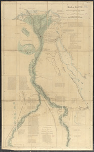
Nile River--Maps
- Places:
-
Africa
Nile River
Africa
- Extent:
- 4 maps on 1 sheet : col. ; 50 x 43 cm.
- Terms of Use:
-
No known copyright restrictions.
No known restrictions on use.
- Publisher:
-
Edinburgh :
W. & A.K. Johnston
- Scale:
-
Scales differ.
- Language:
-
English
- Notes:
-
Relief shown by hachures.
Includes four maps: Map to illustrate the question of the Niger, Map to illustrate the question of the Upper Nile, Political map of Africa, and Map of Africa.
Issued in pamphlet format.
- Identifier:
-
06_01_000970
- Call #:
-
G8201.P53 1898 .J65
- Barcode:
-
39999052508825