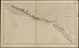
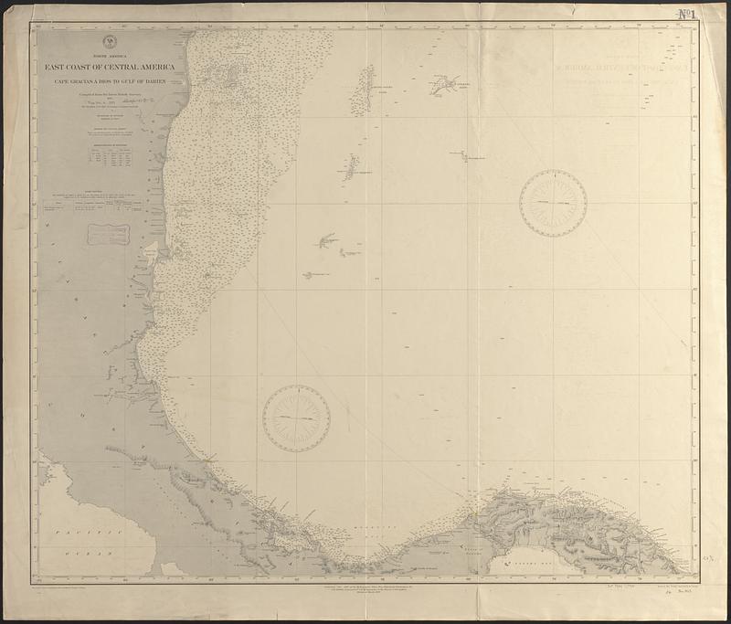
North America, east coast of Central America, Cape Gracias á Dios to Gulf of Darien : compiled from the latest British surveys 1885
Item Information
- Title:
- North America, east coast of Central America, Cape Gracias á Dios to Gulf of Darien : compiled from the latest British surveys 1885
- Issuing body:
- United States. Hydrographic Office
- Engraver:
- Bartle, R. F. (Rudolph F.)
- Engraver:
- Franke, M. (Max)
- Name on Item:
-
drawn by Max Franke ; engraved by R.F. Bartle
- Date:
-
[1889]
- Format:
-
Maps/Atlases
- Genre:
-
Nautical charts
- Location:
-
Boston Public Library
Norman B. Leventhal Map & Education Center - Collection (local):
-
Norman B. Leventhal Map & Education Center Collection
- Subjects:
-
Central America--Maps
Coasts--Central America--Maps
Nautical charts--Central America
- Places:
-
Panama
Costa Rica
Nicaragua
- Extent:
- 1 map ; 72 x 87 cm
- Terms of Use:
-
No known copyright restrictions.
No known restrictions on use.
- Publisher:
-
Washington, D.C. :
Hydrographic Office
- Edition:
- Edition of March 1889
- Scale:
-
Scale approximately 1:980,000
- Language:
-
English
- Notes:
-
Relief shown by hachures and spot heights. Depths shown by soundings and isolines.
- Notes (date):
-
This date is inferred.
- Identifier:
-
06_01_017077
- Call #:
-
G9096.P5 svar .U55 no. 945
- Barcode:
-
39999085953667