Peru, Chili and La Plata
Item Information
- Title:
- Peru, Chili and La Plata
- Date:
-
1816
- Format:
-
Maps/Atlases
- Location:
-
Boston Public Library
Norman B. Leventhal Map & Education Center - Collection (local):
-
Norman B. Leventhal Map & Education Center Collection
- Subjects:
-
South America--Maps
Chile--Maps
Peru--Maps
Argentina--Maps
Bolivia--Maps
Paraguay--Maps
- Places:
-
Peru
Argentina
Bolivia
Chile
South America
Paraguay
South America
- Extent:
- 1 map ; 61 x 48 cm.
- Terms of Use:
-
No known copyright restrictions.
No known restrictions on use.
- Publisher:
-
[Edinburgh] :
Drawn & engraved for Thomson's New General Atlas
- Scale:
-
Scale [1: 7,500,000].
- Language:
-
English
- Notes:
-
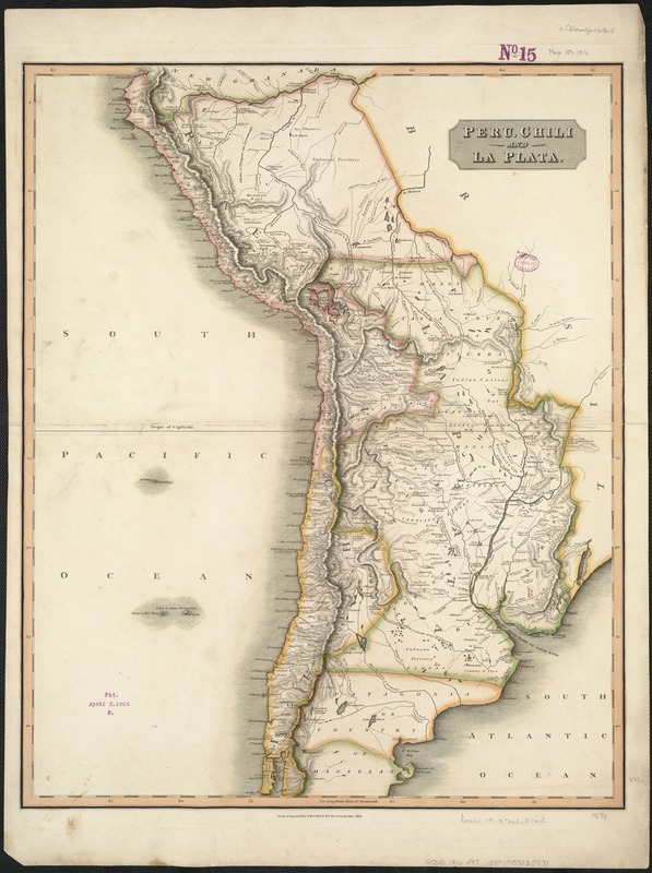
Shows boundaries, rivers and principal settlements.
Relief shown by hachures and shading.
Greenwich meridian.
Western South America, south of the Amazon River and north of Isla de Chiloé, corresponding to Peru, Bolivia, Chile, Paraguay and part of Argentina .
Cataloging, conservation, and digitization made possible in part by The National Endowment for the Humanities: Exploring the human endeavor.
- Identifier:
-
06_01_006483
- Call #:
-
G5310 1816 .P47
- Barcode:
-
39999059025971


