Search Constraints
Search Results

![[Alleen de Caribische Eilanden, vervat in 't groot]](https://bpldcassets.blob.core.windows.net/derivatives/images/commonwealth:st74cw59p/image_thumbnail_300.jpg)


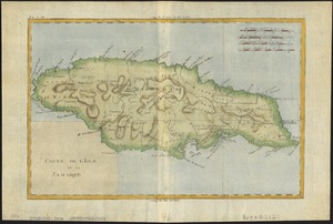


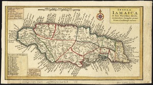


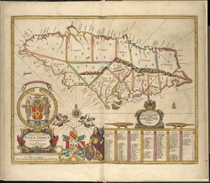
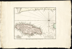
19. Jamaica


25. Zeilan Insula

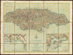
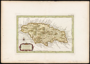
29. La Jamaique


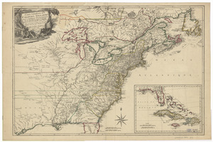
31. 1630 shoreline


37. 227 Harzgerode

38. 305 Glatz


40. 4 Kinten

![[A chart of Boston Bay and vicinity]](https://bpldcassets.blob.core.windows.net/derivatives/images/commonwealth:cj82m2976/image_thumbnail_300.jpg)


82. Adriatic


84. Aegyptus Antiqua


95. Africa


97. Africa

98. Africa

99. Africa
