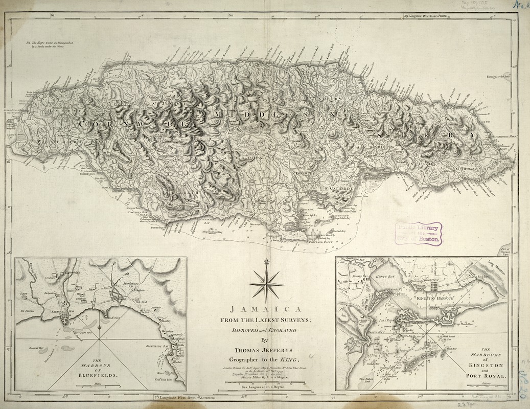
Jamaica, from the latest surveys
This map is also available in American Revolutionary Geographies Online (ARGO), a collections portal especially built for material relating to the American Revolutionary War Era. Visit ARGO to learn more about this item and explore the historical geography of North America in the late eighteenth century.
Item Information
- Title:
- Jamaica, from the latest surveys
- Description:
-
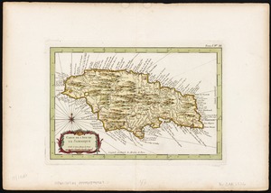
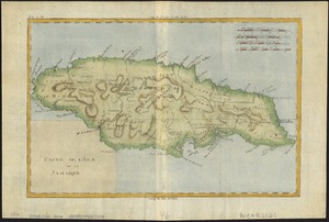
Discovered by Christopher Columbus in 1494, Jamaica was a Spanish colony until 1655 when it was taken over by the British. The third largest island in the West Indies, it became the focus of British activity in the Caribbean. Its economy was dominated by sugar production based on slave labor imported from Africa. Details on this 1775 map by the British geographer and publisher Thomas Jeffreys record the racial segregation that was institutionalized during the British colonial regime. Underlining distinguishes what are referred to on the map as "Negro-towns," most of which are situated in the less hospitable mountainous interior. In contrast, the flatter coastal areas, which were more suitable for agriculture, are dotted with small squares and circles, symbolizing the British-owned sugar plantations and sugar mills. In addition, the map's two insets depict the topography and hydrography of the island's busiest ports, Kingston and Bluefields, which had become centers of British colonial administrative and mercantile activities.
- Creator:
- Jefferys, Thomas, d. 1771
- Name on Item:
-
improved and engraved by Thomas Jefferys.
- Date:
-
1775
- Format:
-
Maps/Atlases
- Location:
-
Boston Public Library
Norman B. Leventhal Map & Education Center - Collection (local):
-
Norman B. Leventhal Map & Education Center Collection
- Subjects:
-
Harbors--Jamaica--Bluefields--Maps--Early works to 1800
Harbors--Jamaica--Kingston--Maps--Early works to 1800
Harbors--Jamaica--Port Royal--Maps--Early works to 1800
Jamaica--Maps--Early works to 1800
- Places:
-
JamaicaCornwall (county)Bluefields
JamaicaKingston (county)Kingston
JamaicaKingston (county)Port Royal
- Extent:
- 1 map ; 61 x 46 cm.
- Terms of Use:
-
No known copyright restrictions.
No known restrictions on use.
- Publisher:
-
London :
Printed for Robt. Sayer
- Scale:
-
Scale [ca. 1:495,000]
- Language:
-
English
- Notes:
-
Relief shown by hachures.
Soundings shown in fathoms.
Hand colored.
Prime meridian: Ferro and London.
Insets: The harbour of Bluefields [ca. 1:95,000] -- The harbours of Kingston and Port Royal [ca. 1:95,000]
Exhibited in “Faces and Places,” at the Boston Public Library, Boston, MA, October 2003 - September 2004. MB (BRL)
- Identifier:
-
05_04_000126
- Call #:
-
G4960 1775 .J4
- Barcode:
-
39999052509880