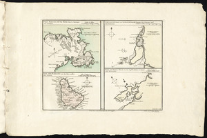
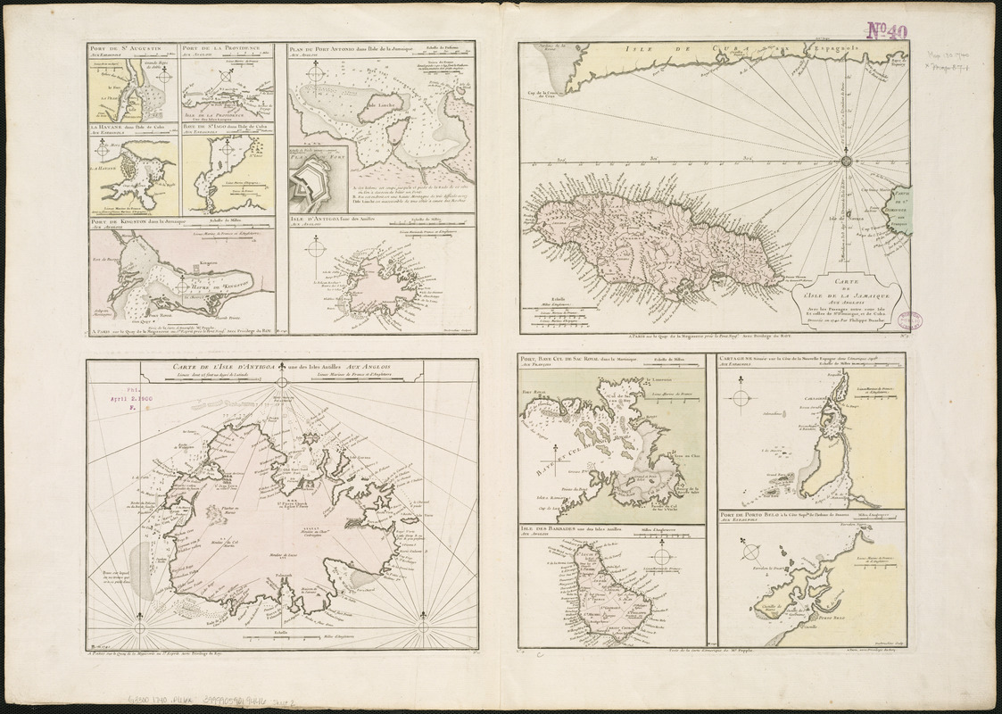
Plans des isles, rades, et ports de plusieurs lieux de l'Amérique : tirés de la Carte angloise de Mr. Popple publiée en 1733 à Londres en vingt feuilles
This map is also available in American Revolutionary Geographies Online (ARGO), a collections portal especially built for material relating to the American Revolutionary War Era. Visit ARGO to learn more about this item and explore the historical geography of North America in the late eighteenth century.
Item Information
- Title:
- Plans des isles, rades, et ports de plusieurs lieux de l'Amérique : tirés de la Carte angloise de Mr. Popple publiée en 1733 à Londres en vingt feuilles
- Cartographer:
- Popple, Henry, d. 1743
- Name on Item:
-
Phillipe Buache ; Desbruslins sculp.
- Date:
-
[1740]
- Format:
-
Maps/Atlases
- Location:
-
Boston Public Library
Norman B. Leventhal Map & Education Center - Collection (local):
-
Norman B. Leventhal Map & Education Center Collection
- Subjects:
-
Antigua--Maps--Early works to 1800
Barbados--Maps--Early works to 1800
Cartagena (Colombia)--Maps--Early works to 1800
Cuba--Maps--Early works to 1800
Jamaica--Maps--Early works to 1800
Kingston Harbor (Jamaica)--Maps--Early works to 1800
Martinique--Maps--Early works to 1800
- Places:
-
Antigua and BarbudaAntigua (island)
BarbadosBarbados (island)
ColombiaBolívarCartagena
Cuba
Jamaica
JamaicaKingston (county)Kingston
Martinique (territory)
- Extent:
- 13 maps on 1 sheet : hand col. ; 57 x 80 cm.
- Terms of Use:
-
No known copyright restrictions.
No known restrictions on use.
- Publisher:
-
Paris :
sur le Quay de la Megisserie prés le Pont Neuf
- Scale:
-
Scales differ
- Language:
-
French
- Notes (date):
-
This date is inferred.
- Identifier:
-
06_01_006369
- Call #:
-
G3300 1740 .P66x
- Barcode:
-
39999059019446