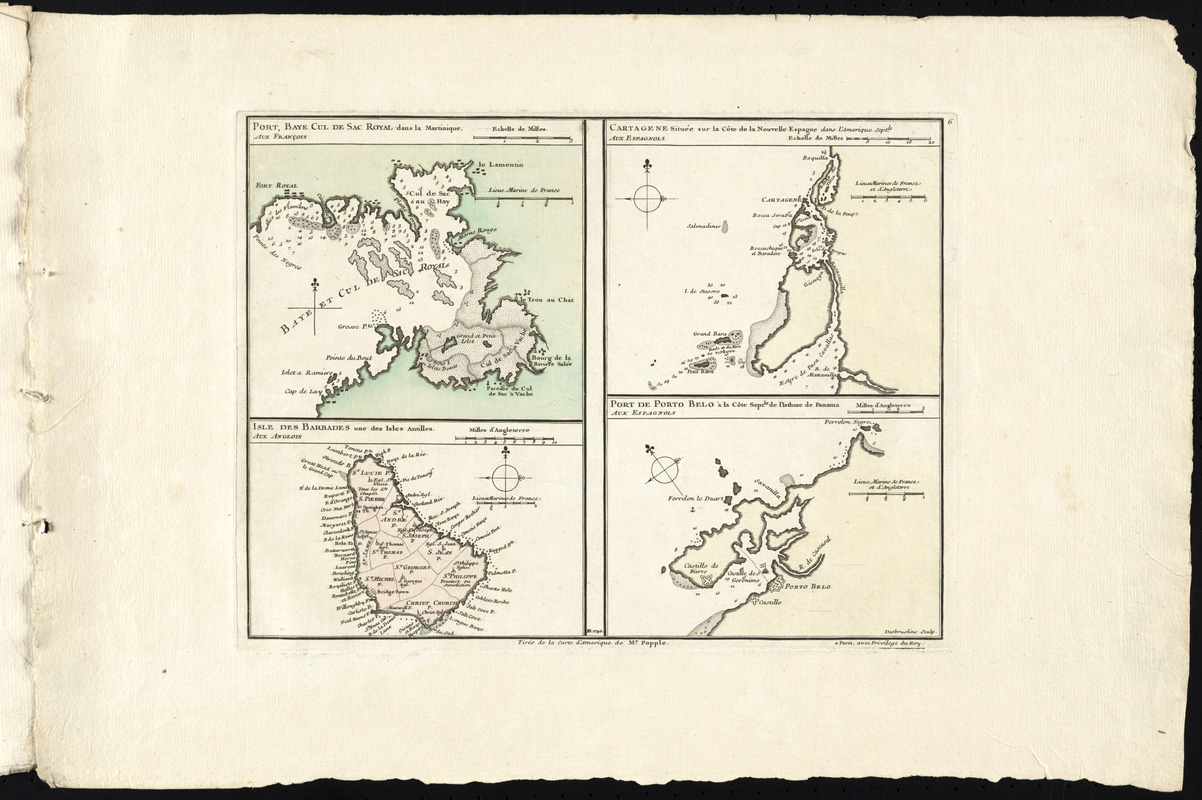
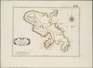
Port, baye cul de sac Royal dans la Martinique -- Isle des Barbades une des Isles Antilles -- Cartagene située sur le Côte de la nouvelle Espagne dans l'Amerique septle. -- Port de Porto Belo à la Côte Septle. de l'Isthme de Panama
This map is also available in American Revolutionary Geographies Online (ARGO), a collections portal especially built for material relating to the American Revolutionary War Era. Visit ARGO to learn more about this item and explore the historical geography of North America in the late eighteenth century.
Item Information
- Title:
- Port, baye cul de sac Royal dans la Martinique -- Isle des Barbades une des Isles Antilles -- Cartagene située sur le Côte de la nouvelle Espagne dans l'Amerique septle. -- Port de Porto Belo à la Côte Septle. de l'Isthme de Panama
- Title (alt.):
-
Plans des isles, rades, et ports de plusieurs lieux de l'Amérique : tirés de la carte angloise de Mr. Popple publiée en 1733 à Londres en vingt feuilles
- Cartographer:
- Buache, Philippe, 1700-1773
- Date:
-
1740
- Format:
-
Maps/Atlases
- Location:
- George Washington's Mount Vernon
- Collection (local):
-
Richard H. Brown Revolutionary War Map Collection at Mount Vernon
- Subjects:
-
Barbados--Maps--Early works to 1800
Cartagena (Colombia)--Maps--Early works to 1800
Martinique--Maps--Early works to 1800
Portobelo Bay (Panama)--Maps--Early works to 1800
- Places:
-
Barbados
ColombiaBolívarCartagena
Martinique (territory)
Bahía de Portobelo
- Extent:
- 4 maps on 1 sheet : hand color ; sheet 35 x 53 cm
- Terms of Use:
-
No known copyright restrictions.
This work is licensed for use under a Creative Commons Attribution Non-Commercial Share Alike License (CC BY-NC-SA).

- Publisher:
-
Paris :
P.B. [Philippe Buache]
- Scale:
-
Scales differ
- Language:
-
French
- Notes:
-
Plate 6 of Plans des isles, rades, et ports de plusieurs lieux de l'Amérique tirés de la carte angloise de Mr. Popple publiée en 1733 à Londres en vingt feuilles.
Relief shown pictorially. Depths shown by soundings.
- Notes (citation):
-
Tooley, R. V. Mapping of America, p. 30-31, plate 19
- Identifier:
-
06_01_008559
- Barcode:
-
30000003818423

 IIIF Manifest