Search Constraints
Search Results


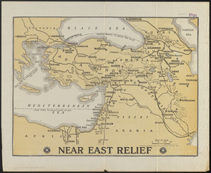
12. Near East Relief


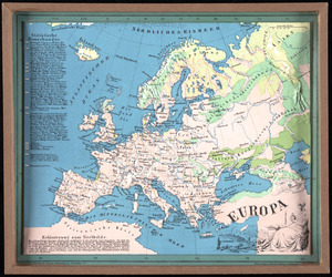
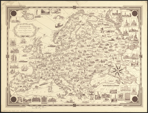
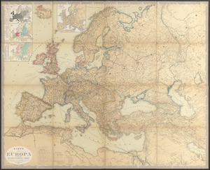
43. Europa
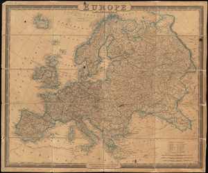
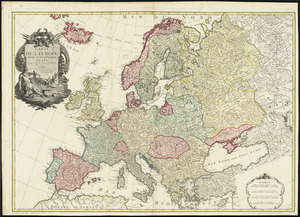
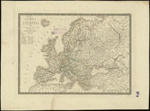
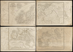
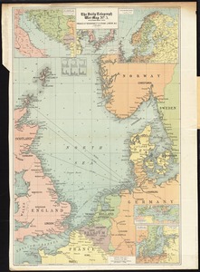
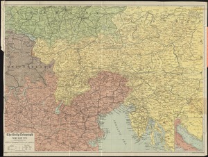
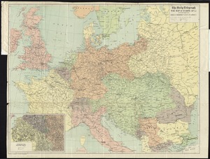
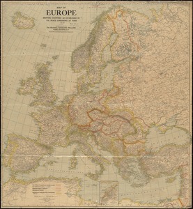
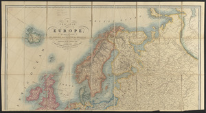
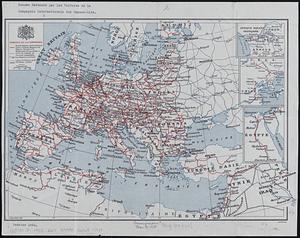
45. Europe
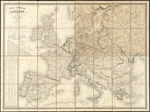
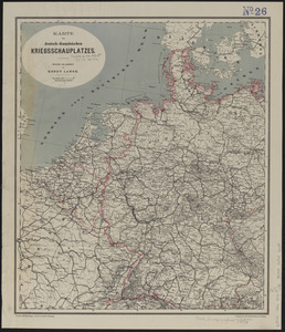
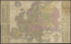
46. Europe
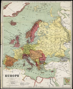
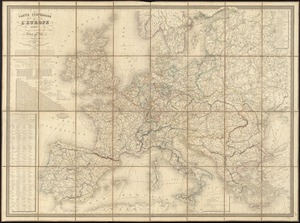
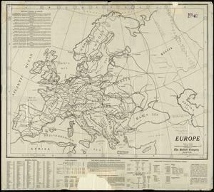
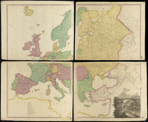
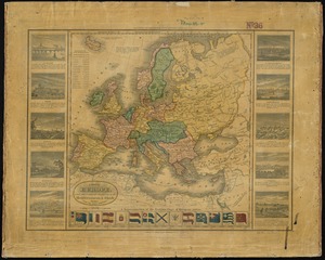
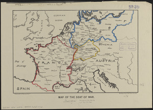
47. Europe
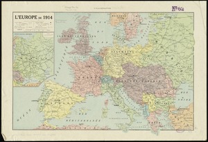
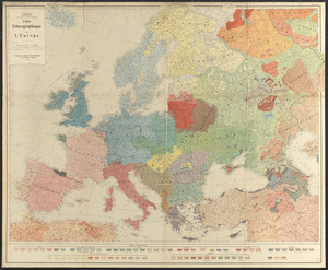
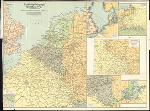
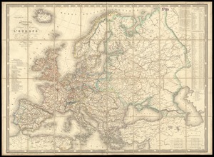
49. L'Europe de 1914

51. Evropa


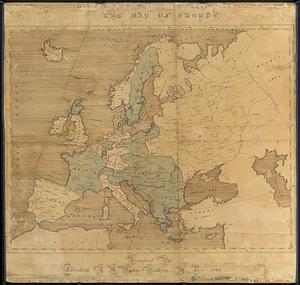
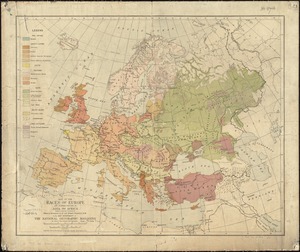

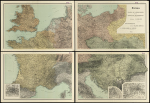
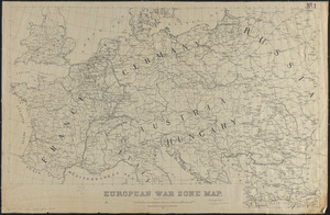
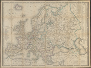
67. Maps of Europe


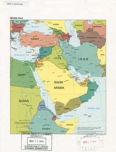
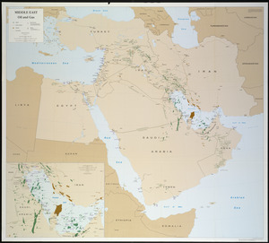
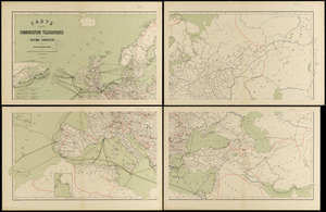
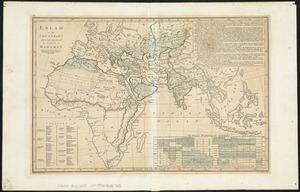
89. Middle East


92. 1630 shoreline


98. 227 Harzgerode

