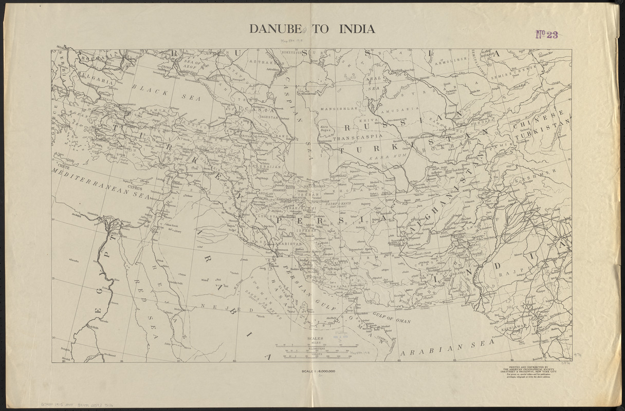
Danube to India
Item Information
- Title:
- Danube to India
- Cartographer:
- American Geographical Society of New York
- Name on Item:
-
printed and distributed by the American Geographical Society
- Date:
-
1915
- Format:
-
Maps/Atlases
- Location:
-
Boston Public Library
Norman B. Leventhal Map & Education Center - Collection (local):
-
Norman B. Leventhal Map & Education Center Collection
- Subjects:
-
Middle East--Maps
- Places:
-
Middle East (area)
- Extent:
- 1 map ; 51 x 84 cm
- Terms of Use:
-
No known copyright restrictions.
No known restrictions on use.
- Publisher:
-
New York City :
American Geographical Society
- Scale:
-
Scale 1:6,000,000
- Language:
-
English
- Notes:
-
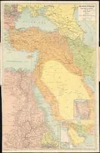
Outline map covering from Eastern Europe (Serbia, Romania, and Bulgaria) eastward to Central Asia (Chinese Turkistan, and India), and from the Black Sea & Caspian Sea southward to the Arabian Sea.
Shows political boundaries, geographical regions, lakes and waterways, and major cities.
- Identifier:
-
06_01_015328
- Call #:
-
G7420 1915 .A44
- Barcode:
-
39999085935136