Search Constraints
Search Results


![[Carte marine de la mer Baltique, de la mer du Nord, de l'océan Atlantique Est, de la mer Méditerranée, de la mer Noire et de la mer Rouge]](https://bpldcassets.blob.core.windows.net/derivatives/images/commonwealth:4m90fm28z/image_thumbnail_300.jpg)


16. Diqiu quan tu


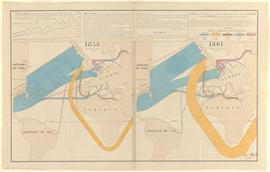
25. Map no. 245


![[Map of the world]](https://bpldcassets.blob.core.windows.net/derivatives/images/commonwealth:79408320r/image_thumbnail_300.jpg)

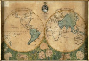
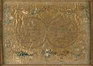
29. Map of the world

![[Map of the world on a polyconic projection]](https://bpldcassets.blob.core.windows.net/derivatives/images/commonwealth:x633f979b/image_thumbnail_300.jpg)


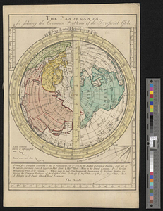
![[Mid]dleton's [pione]er map of the [w]orld, [as a?] plane and immoveable](https://bpldcassets.blob.core.windows.net/derivatives/images/commonwealth:7h149v84p/image_thumbnail_300.jpg)


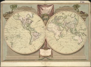


51. Peters World map


![[Universal map of China]](https://bpldcassets.blob.core.windows.net/derivatives/images/commonwealth:qb98n8079/image_thumbnail_300.jpg)


66. The world

67. The World

![[World map]](https://bpldcassets.blob.core.windows.net/derivatives/images/commonwealth:x059cd25x/image_thumbnail_300.jpg)
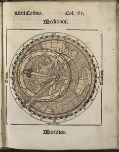
69. [World map]

![The World, on the globular projection with a graduation for the measurement of distances especially adapted for the use oe [sic] schools, geographical & historical lectures, and missionary meetings](https://bpldcassets.blob.core.windows.net/derivatives/images/commonwealth:ww72bp12b/image_thumbnail_300.jpg)


77. Map of the world


81. The world

82. The world


86. 1630 shoreline


92. 227 Harzgerode

93. 305 Glatz


![[A chart of Boston Bay and vicinity]](https://bpldcassets.blob.core.windows.net/derivatives/images/commonwealth:cj82m2976/image_thumbnail_300.jpg)


