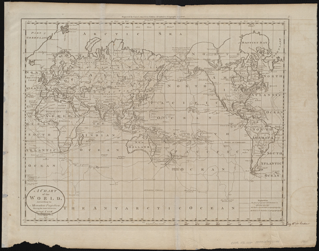
A chart of the world, according to Mercators projection, shewing the latest discoveries of Capt. Cook
Item Information
- Title:
- A chart of the world, according to Mercators projection, shewing the latest discoveries of Capt. Cook
- Engraver:
- Barker, W. (William), active 1795-1803
- Publisher:
- Carey, Mathew, 1760-1839
- Name on Item:
-
William Barker sculp.
- Date:
-
[1800]
- Format:
-
Maps/Atlases
- Location:
-
Boston Public Library
Norman B. Leventhal Map & Education Center - Collection (local):
-
Norman B. Leventhal Map & Education Center Collection
- Subjects:
-
World maps
- Places:
-
World
- Extent:
- 1 map ; 35 x 45 cm
- Terms of Use:
-
No known copyright restrictions.
No known restrictions on use.
- Publisher:
-
[Philadelphia] :
[Mathew Carey]
- Scale:
-
Scale approximately 1:82,000,000
- Language:
-
English
- Notes:
-
Shows tracks of Captain Cook's voyages.
Prime meridians: London and Philadelphia.
"Engraved for Carey's American edition of Guthrie's geography improved."
In upper right: 2.
Map 2 in his Carey's general atlas. Philadelphia : Mathew Carey, 1800.
- Notes (date):
-
This date is inferred.
- Identifier:
-
06_01_004521
- Call #:
-
G1015 .C3 1800x
- Barcode:
-
30000005056001


