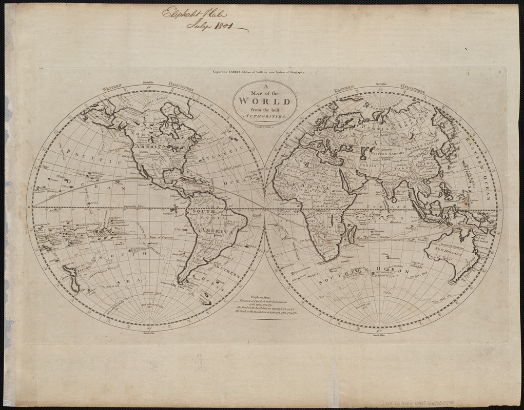
A map of the world from the best authorities
This map is also available in American Revolutionary Geographies Online (ARGO), a collections portal especially built for material relating to the American Revolutionary War Era. Visit ARGO to learn more about this item and explore the historical geography of North America in the late eighteenth century.
Item Information
- Title:
- A map of the world from the best authorities
- Engraver:
- Thackara & Vallance
- Publisher:
- Carey, Mathew, 1760-1839
- Name on Item:
-
Thackara & Vallance sc.
- Date:
-
[1800]
- Format:
-
Maps/Atlases
- Location:
-
Boston Public Library
Norman B. Leventhal Map & Education Center - Collection (local):
-
Norman B. Leventhal Map & Education Center Collection
- Subjects:
-
World maps
- Places:
-
World
- Extent:
- 1 map ; 2 hemispheres each 25 cm in diameter, on sheet 43 x 55 cm
- Terms of Use:
-
No known copyright restrictions.
No known restrictions on use.
- Publisher:
-
[Philadelphia] :
[Mathew Carey]
- Scale:
-
Scale approximately 1:78,000,000
- Language:
-
English
- Notes:
-
Relief shown pictorially.
Shows tracks of Captain Cook's voyages.
"Engrav'd for Carey's edition of Guthrie's new System of geography."
In upper right: 1.
Map 1 in his Carey's general atlas. Philadelphia : Mathew Carey, 1800.
- Notes (date):
-
This date is inferred.
- Identifier:
-
06_01_004520
- Call #:
-
G1015 .C3 1800x
- Barcode:
-
30000005055994


