Toggle navigation
LMEC Home
Exhibitions
Georeferencing
Tools for Teachers
Collections
My Favorites
Sign Up / Log In
Search
Search the map portal
Map Collection
Map Collection
Map Sets
Search
Search
Search for
Search In
All Fields
Creator
Title
Subject
Place
Search All Digital Collections
Advanced Search
484 Results
My Search
Start Over
More Like
commonwealth:q524nj64z
Remove constraint More Like: commonwealth:q524nj64z
Filter your Search
Place
North and Central America
420
United States
297
New York
42
Florida
19
Canada
17
Alabama
15
Chatham (county)
15
Savannah
13
more
Place
»
Topic
Manuscript maps--Early works to 1800
92
Manuscript maps
21
Gulf Coast (U.S.)--Maps, Manuscript--Early works to 1800
12
Fortification--New York (State)--New York--Maps--Early works to 1800
11
New York (N.Y.)--Maps, Manuscript--Early works to 1800
11
New York (N.Y.)--Buildings, structures, etc--Maps, Manuscript--Early works to 1800
9
Saratoga Campaign, N.Y., 1777--Maps, Manuscript--Early works to 1800
8
Coasts--Florida--Maps--Early works to 1800
7
more
Topic
»
Date
Date range begin
–
Date range end
Current results range from
1664
to
1899
View distribution
Creator
Hills, John, (Surveyor)
18
Montrésor, John, 1736-1799
16
Bingham, William, 1752-1804
12
Adlum, John, 1759-1836
10
Washington, George, 1732-1799
9
Faden, William, 1749-1836
7
Morgan, Benjamin, (Draftsman)
7
Wangenheim, Friedrich Adam Julius von
7
more
Creator
»
Format
Maps/Atlases
482
Manuscripts
478
Objects/Artifacts
2
Georeferenced
Yes
5
No
479
Collection
American Revolutionary War-Era Maps
483
Library of Congress Collection
480
Maritime Charts and Atlases
31
Urban Maps
16
British Library Collection
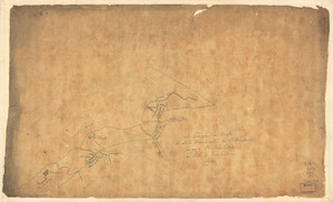
3
Norman B. Leventhal Map Center Collection
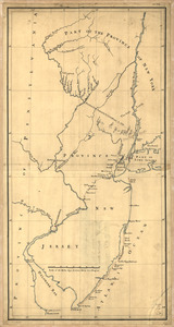
1
Available to use
Creative Commons license
483
No known restrictions
1
Search Constraints
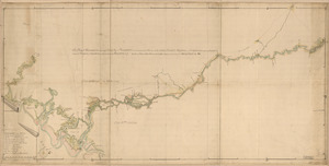
Sort by relevance
relevance
title
date (asc)
date (desc)
Number of results to display per page
100 per page
10
per page
20
per page
50
per page
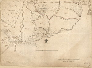
100
per page
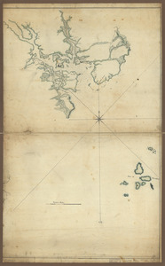
View results as:
grid view
map view
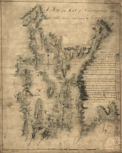
Search Results
101.
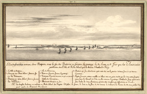
L'escadre françoise entrant dans Newport sous le feu des batteries et forcant le passage le 8 Aoust 1778 : jour que les...
102.
Esquisse du plan de la ville du Mole à St. Domingue
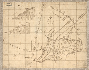
103.
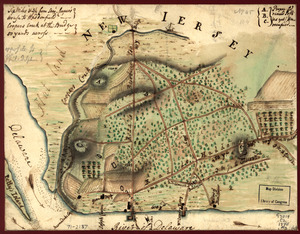
An exact-plan of George-Town : so named by Patrick Graham, Esqr., President of the Province of Georgia, in honr. to His Royal...
104.
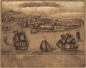
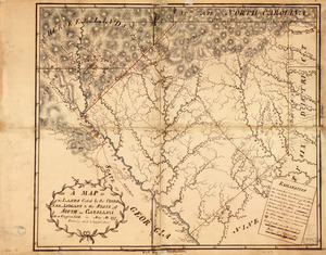
't Eÿland Curacao, anno 1800
105.
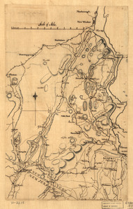
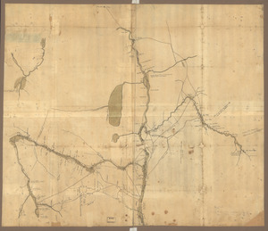
Fort Edward to Crown Point
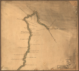
106.
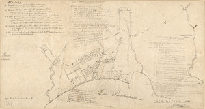
Fort La Fayette on Verplancks Point, with British and Hessian troop positions
107.
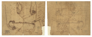
Fort Provost in 1782
108.
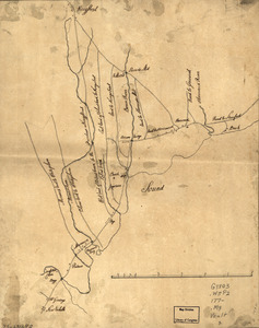
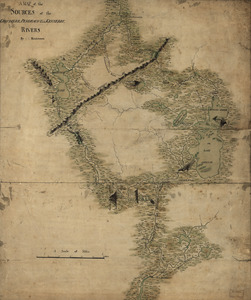
Fort Washington & vicinity
109.
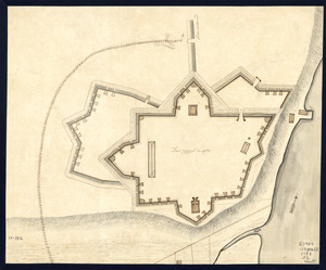
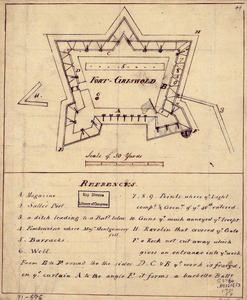
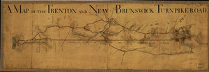
Fort-Griswold
110.
Frog's Point avec batteries de Partie de Longue Island
111.
From Battle of Brandywine
112.
Ft. Provost in 1781
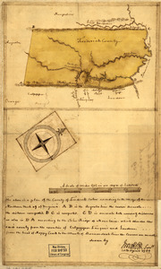
113.
A general plan of Annapolis Royal
114.
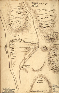
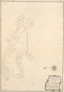
Gov. Tryon's expedition to Danbury, 1777
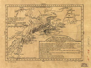
115.
El Guarico, alias, el cavo Frances, es una de las colonias y puertos qe. poseen los Franceses en la parte occidental de la Ysla...
116.
Havana : Vera Cruz
117.
Indiana Fort Wayne : ms. map of Fort Wayne said to have been made on July 18, 1795, for General Anthony Wayne
118.
The Investiture of Charleston, S.C. by the English army, in 1780 : With the position of each corps
119.
Jefferson, Venango & Armstrong
120.
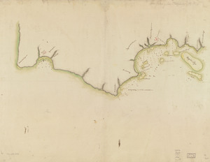
Lake Champlain and Lake George, and the country between the Hudson and the lakes on the west, and Connecticut River on the east
121.
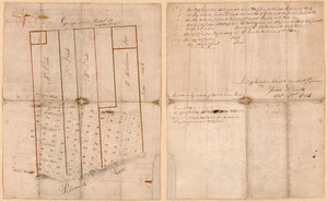
Land ownership map of the William Bingham estate in Potter County, Pennsylvania
122.
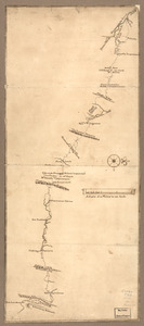
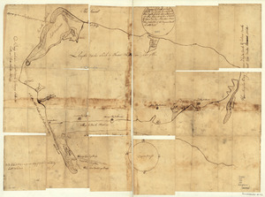
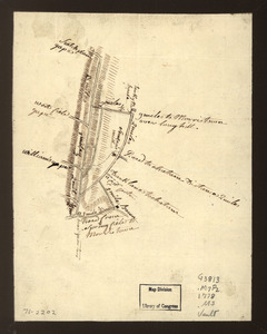
Lines run in the Jersies for determining boundaries between that Province & New York
123.
Lord Cornwallis surrender, 1781
124.
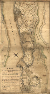
A map containing part of the Provinces of New York and New Jersey
125.
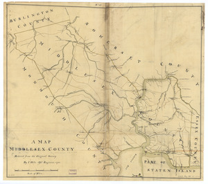
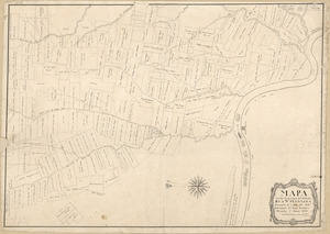
A map, Middlesex County
126.
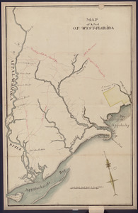
Map of a part of west-Florida : overlay down
127.
Map of a part of west-Florida : overlay up
128.
Map of a route through south west Pennsylvania from Fort Loudon, Franklin Co. to Fort Pitt, Pittsburgh
129.
Map of Alexandria, Virginia
130.
Map of British outposts between Burlington and New Bridge, New Jersey, December 1776
131.
Map of coast from southern Florida to central New Jersey
132.
Map of Gen. Sullivan's march from Easton to the Senaca & Cayuga countries
133.
Map of Las Ormigas Grant, Sabine and DeSoto Parishes, Louisiana
134.
Map of military lots, tracts, patents, etc. in western Allegany and Garrett Counties, Maryland
135.
Map of Missouri River and vicinity from Saint Charles, Missouri, to Mandan villages of North Dakota : used by Meriwether Lewis...
136.
Map of Mobile Bay
137.
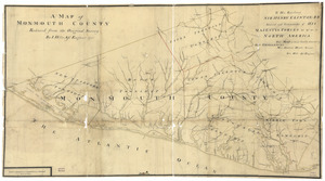
A map of Monmouth County
138.
Map of Orange and Rockland counties area of New York
139.
A map of part of New-York Island showing a plan of Fort Washington : now call'd Ft. Kniphausen with the rebels lines on the...
140.
Map of part of the city of Washington shewing the situation of the mansion house, grave yard & buildings belonging to Mr....
141.
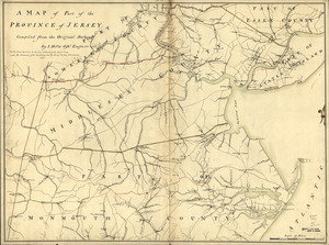
A map of part of the province of Jersey
142.
A map of Potomack and James rivers in North America shewing their several communications with the navigable waters of the new...
143.
Map of Queens Village or Lloyd Neck in Queens County on the north side of Long Island in the Province (now State) of New York....
144.
A map of Savannah River beginning at Stone-Bluff, or Nexttobethell, which continueth to the sea : also, the four sounds...
145.
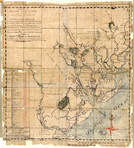
A map of South Carolina from the Savannah Sound to St. Helena's Sound, with the several plantations, their proper boundary...
146.
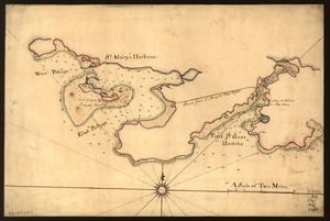
Map of St. Mary's and Petit d'Grat Harbour
147.
Map of Stony and Verplanck Points on the Hudson River as fortified by Sir Henry Clinton June 1779
148.
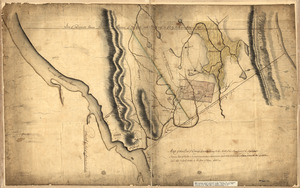
Map of that part of Orange County lying to the north of the mountains of the highlands : shewing that Chester is a much more...
149.
A map of the bay of Narraganset with the islands therein and part of the country adjacent
150.
Map of the coast of Georgia, bordering on Camden and Glynn counties : showing also the course and soundings of the Alatamaha,...
151.
Map of the coast of New Jersey from Barnegat Inlet to Cape May
152.
Map of the country about the Mississippi
153.
Map of the country between and bordering the Delaware River and Chesapeake Bay : showing roads to Philadelphia and localities
154.
Map of the county of Frederick, 1769
155.
Map of the environs of Camden, N.J
156.
A map of the land abt. Red Stone and Fort Pitt
157.
A Map of the lands ceded by the Cherokee Indians to the State of South-Carolina : at a congress held in May, A.D. 1777;...
158.
Map of the north shore of Lake Pontchartrain between Bayou Chenchuba and Bayou Lacombe, Louisiana
159.
Map of the northern parts of New York
160.
Map of the Ohio River from Fort Pitt
161.
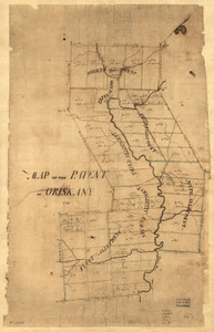
Map of the patent of Oriskany
162.
Map of the Rigolet and the mouth of the Pearl River, Louisiana and Mississippi
163.
Map of the roads from New Rochelle to Kingstreet, Westchester County
164.
A Map of the route from the city of Albany to the Fort Osswego on the Lake of Cataroque
165.
A map of the sources of the Chaudière, Penobscot, and Kennebec rivers
166.
A map of the town of Rhinebeck in the County of Dutchess : surveyed in December 1797 and January 1798
167.
A Map of the Trenton and New-Brunswick Turnpike-road
168.
A Map of the western parts of the province of Pennsylvania, Virginia, &c
169.
Map showing Caribbean area including West Indies and Gulf of Mexico
170.
Map showing coast in the regions of Aguadilla, Añasco, and Mayagüez
171.
Map showing coast in the regions of Aguadilla, Añasco, and Mayagüez
172.
Map showing roads to Morristown
173.
Map showing the west shore of the North or Hudson River
174.
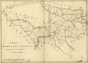
A map, Somerset County
175.
A map with part of the Florida coast from Cape Blaise to Apalachie : with the boundaries betwixt East & West Floridas, 160...
176.
Mapa de las locaciones del Distrito de la Na Feliciana
177.
Mapa de las locaciones del Distrito de Manchack
178.
Mapa de una parte de la America Septentrional
179.
Mapa, que comprende la Frontera, de los Dominios del Rey, en la America Septentrional
180.
Marche de l'armée française de Providence à la Rivière du Nord
181.
Les marches du corps du Lord Cornwallis de Billinsport jusqu'a Philadelphia au mois de Novembre, 1777
182.
Mr. Armstrong's rough draft of the country to the west of Susquehanna
183.
New Hampshire
184.
New York & New Jersey commissioners line from 41⁰ on Hudson's River taken in 1769
185.
New York Island : Military; unfinished
186.
New York Island. Military. Unfinished
187.
North America from the Mississippi River to the Pacific, between the 35th and 60th parallers of latitude
188.
Northern part of the Gut of Canso : part of the island of Cape Bocton
189.
Notes sur les environs de York
190.
Notes sur les environs de York: Plan donné par des arpenteurs du pays
191.
Nuevo plano de Puerto Rico
192.
N.W. parts of New York, no. 156
193.
Old map of Brooklyn and greater part of King's County, Long Island
194.
Operations in America : No. 2
195.
Operations of the British army, from the 25th August to 26th Sept. 1777
196.
Pansacola o Santta María de Galbe, puerto y presidio del Ry. de España situado en la costa del nortte del Seno Mexicano, los...
197.
Part of a map of the Hudson Highlands showing Forts Clinton and Montgomery
198.
Part of New Jersey
199.
Part of Oxford and Cumberland counties, Me
200.
The Part of Pennsylvania that lies between the forks of the Susquehannah, divided into townships
‹ Prev
Next ›
1
2
3
4
5