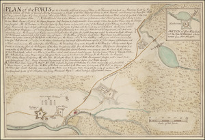
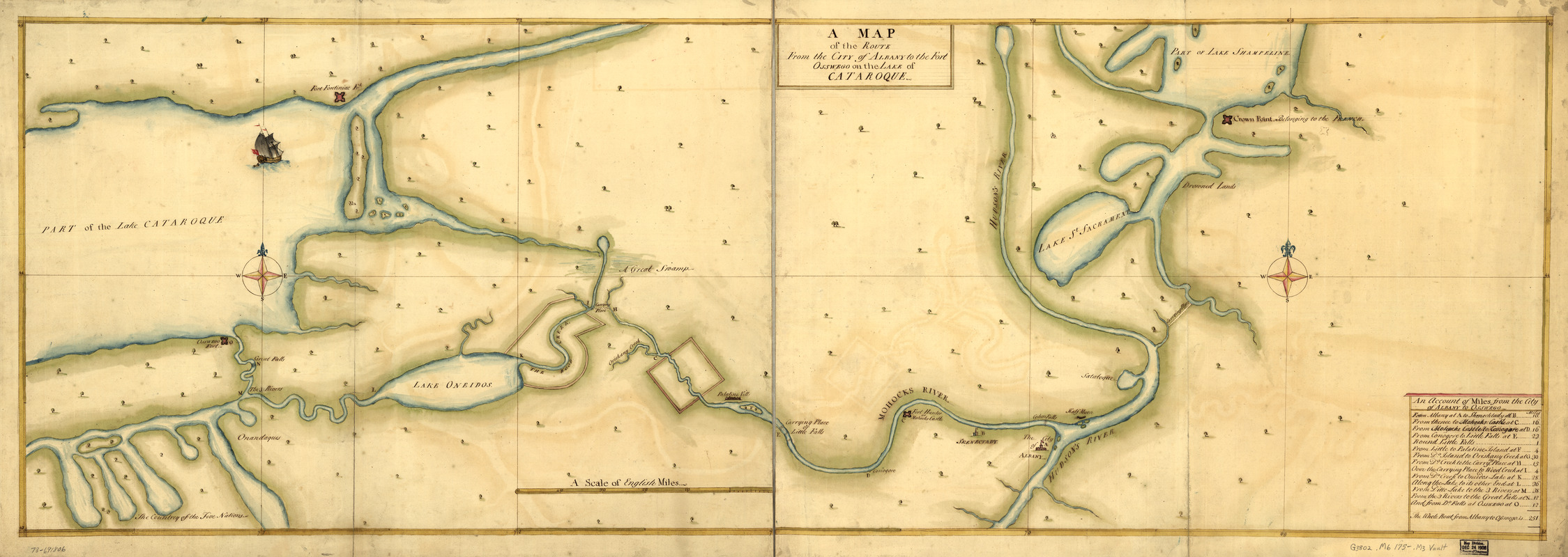
A Map of the route from the city of Albany to the Fort Osswego on the Lake of Cataroque
This map is also available in American Revolutionary Geographies Online (ARGO), a collections portal especially built for material relating to the American Revolutionary War Era. Visit ARGO to learn more about this item and explore the historical geography of North America in the late eighteenth century.
Item Information
- Title:
- A Map of the route from the city of Albany to the Fort Osswego on the Lake of Cataroque
- Title (alt.):
-
Route from the city of Albany to the Fort Osswego
Albany to the Fort Osswego on the Lake Cataroque
- Date:
-
[1750?–1759?]
- Format:
-
Maps/Atlases
Manuscripts
- Location:
- Library of Congress Geography and Map Division
- Collection (local):
-
Library of Congress Collection
- Subjects:
-
Mohawk River (N.Y.)--Maps, Manuscript--Early works to 1800
- Places:
-
Mohawk (river)
- Extent:
- 1 manuscript map : hand color 48 x 141 cm.
- Terms of Use:
-
No known copyright restrictions.
This work is licensed for use under a Creative Commons Attribution Non-Commercial Share Alike License (CC BY-NC-SA).

- Scale:
-
Scale ca. 1:410,000
- Language:
-
English
- Catalog Record:
-
https://lccn.loc.gov/73691806
- Notes:
-
Manuscript, pen-and-ink and watercolor.
Watermark: I. Villedary.
Also shows the route from Albany to "Crown Point, belonging to the French."
Includes "An account of miles from the city of Albany to Osswego."
- Notes (citation):
-
LC Maps of North America, 1750-1789, 1080
- Identifier:
-
ar108000z

![[A colored map of the route between Albany and Oswego; drawn about 1756, on a scale of 2 miles to an inch]](https://bpldcassets.blob.core.windows.net/derivatives/images/commonwealth:hx11z3223/image_thumbnail_300.jpg)