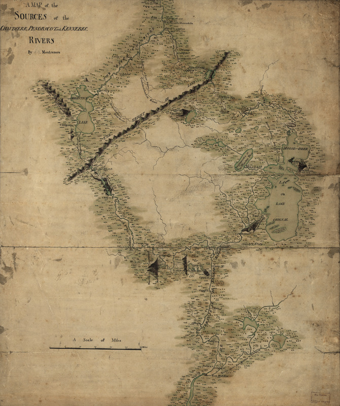
A map of the sources of the Chaudière, Penobscot, and Kennebec rivers
This map is also available in American Revolutionary Geographies Online (ARGO), a collections portal especially built for material relating to the American Revolutionary War Era. Visit ARGO to learn more about this item and explore the historical geography of North America in the late eighteenth century.
Item Information
- Title:
- A map of the sources of the Chaudière, Penobscot, and Kennebec rivers
- Title (alt.):
-
Sources of the Chaudière, Penobscot, and Kennebec rivers
- Creator:
- Montrésor, John, 1736-1799
- Name on Item:
-
by Montresore
- Date:
-
[1761?]
- Format:
-
Maps/Atlases
Manuscripts
- Location:
- Library of Congress Geography and Map Division
- Collection (local):
-
Library of Congress Collection
- Subjects:
-
Maine--Maps, Manuscript--Early works to 1800
Québec (Province)--Maps, Manuscript--Early works to 1800
Chaudière River (Québec)--Maps, Manuscript--Early works to 1800
Penobscot River (Me.)--Maps, Manuscript--Early works to 1800
Kennebec River (Me.)--Maps, Manuscript--Early works to 1800
- Places:
-
CanadaChaudière, Rivière (river)
Penobscot (river)
Kennebec (river)
- Extent:
- 1 manuscript map : hand color 57 x 47 cm.
- Terms of Use:
-
No known copyright restrictions.
This work is licensed for use under a Creative Commons Attribution Non-Commercial Share Alike License (CC BY-NC-SA).

- Scale:
-
Scale ca. 1:390,000
- Language:
-
English
- Catalog Record:
-
https://lccn.loc.gov/74692578
- Notes:
-
Manuscript, pen-and-ink and watercolor.
Mounted on cloth backing with reinforced edges.
Relief shown pictorially.
Shows campsite locations for the author's expedition from Quebec into Maine.
- Notes (citation):
-
LC Maps of North America, 1750-1789, 838
- Identifier:
-
ar083800

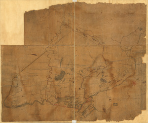
![[A map of part of New York, comprehending the country between New York and Quebec, the river Connecticut, &c., to shew "the way from Albany to Canada ..... part by land and part by water;" drawn about 1720, on a scale of 31 miles to an inch]](https://bpldcassets.blob.core.windows.net/derivatives/images/commonwealth:6108vw070/image_thumbnail_300.jpg)
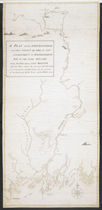
![[A map of part of New York, comprehending the country between New York and Quebec, the river Connecticut, &c., to shew "the way from Albany to Canada ..... part by land and part by water;" drawn about 1720, on a scale of 31 miles to an inch]](https://bpldcassets.blob.core.windows.net/derivatives/images/commonwealth:6108vw09j/image_thumbnail_300.jpg)