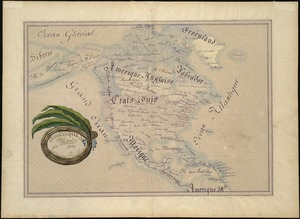
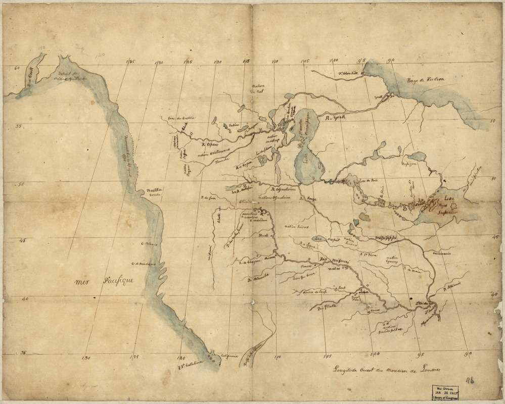
North America from the Mississippi River to the Pacific, between the 35th and 60th parallers of latitude
This map is also available in American Revolutionary Geographies Online (ARGO), a collections portal especially built for material relating to the American Revolutionary War Era. Visit ARGO to learn more about this item and explore the historical geography of North America in the late eighteenth century.
Item Information
- Title:
- North America from the Mississippi River to the Pacific, between the 35th and 60th parallers of latitude
- Date:
-
[1790?–1799?]
- Format:
-
Maps/Atlases
Manuscripts
- Location:
- Library of Congress Geography and Map Division
- Collection (local):
-
Library of Congress Collection
- Subjects:
-
North America--Maps, Manuscript
- Places:
-
North America (area)
- Extent:
- 1 map : ms., col. ; 42 x 50 cm.
- Terms of Use:
-
No known copyright restrictions.
This work is licensed for use under a Creative Commons Attribution Non-Commercial Share Alike License (CC BY-NC-SA).

- Scale:
-
Scale [ca. 1:12,000,000]
- Language:
-
English
- Catalog Record:
-
https://lccn.loc.gov/00556403
- Notes:
-
Pen-and-ink.
See also: Geographical review, vol. 1, p. 330, May 1916.
LC Annual report, 1925, p. 86.
See also: Wheat. Mapping the transmississippi West, no. 243.
- Identifier:
-
ct000580