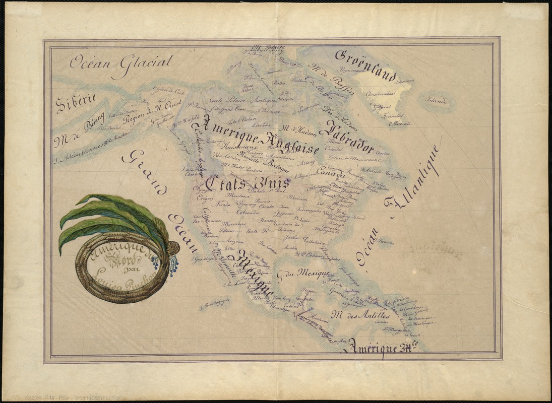
Amérique du Nord
Item Information
- Title:
- Amérique du Nord
- Description:
-
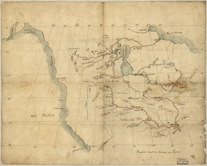
Young European women also practiced geography in school-settings during the early 19th-century. This map of North America by Louisa Pinchon of Elbeuf, France, a village on the Seine River fifty miles northwest of Paris, may well have been part of a larger collection, as evidenced by the fold marks along the center of the sheet. Louisa signed her work under a cartouche comprised of tobacco leaves, grown extensively in Cuba and the southeastern United States. Geographic education at the time often included lessons on natural and cultural resources of an area, and most likely played a role in the mapmaker's design.
- Creator:
- Pinchon, Louisa.
- Name on Item:
-
par Louisa Pinchon.
- Date:
-
[1880]
- Format:
-
Maps/Atlases
Manuscripts
- Location:
-
Boston Public Library
Norman B. Leventhal Map & Education Center - Collection (local):
-
Norman B. Leventhal Map & Education Center Collection
- Subjects:
-
North America--Maps, Manuscript
- Places:
-
North America (area)
- Extent:
- 1 ms. map : col. ; 29 x 42 cm.
- Terms of Use:
-
No known copyright restrictions.
No known restrictions on use.
- Scale:
-
Not drawn to scale.
- Language:
-
French
- Notes:
-
Relief shown by hachures.
Manuscript map in pen-and-ink and watercolor, drawn by a schoolgirl.
Date based on that shown on companion map.
Companion map to author's Amérique du Sud [G5200 1880 .P56].
- Notes (date):
-
This date is inferred.
- Notes (exhibitions):
-
Exhibited: "Women in Cartography: Five Centuries of Accomplishments" organized by the Norman B. Leventhal Map Center at the Boston Public Library, 2015-2016.
- Identifier:
-
06_01_005737
- Call #:
-
G3300 1880 .P56
- Barcode:
-
39999059016830