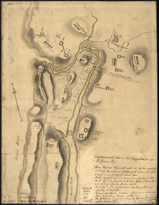
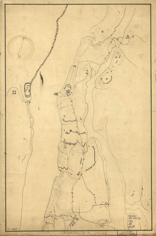
New York Island : Military; unfinished
This map is also available in American Revolutionary Geographies Online (ARGO), a collections portal especially built for material relating to the American Revolutionary War Era. Visit ARGO to learn more about this item and explore the historical geography of North America in the late eighteenth century.
Item Information
- Title:
- New York Island : Military; unfinished
- Date:
-
[1776?]
- Format:
-
Maps/Atlases
Manuscripts
- Location:
- Library of Congress Geography and Map Division
- Collection (local):
-
Library of Congress Collection
- Subjects:
-
Manhattan (New York, N.Y.)--Buildings, structures, etc--Maps, Manuscript--Early works to 1800
Fortification--New York (State)--New York--Maps--Early works to 1800
New York (N.Y.)--Buildings, structures, etc--Maps, Manuscript--Early works to 1800
- Places:
-
New YorkManhattan
- Extent:
- 1 manuscript map : hand color, 50 x 32 cm.
- Terms of Use:
-
No known copyright restrictions.
This work is licensed for use under a Creative Commons Attribution Non-Commercial Share Alike License (CC BY-NC-SA).

- Scale:
-
Scale ca. 1:9,500
- Language:
-
English
- Catalog Record:
-
https://lccn.loc.gov/gm71002309
- Notes:
-
Title from manuscript catalog of Peter Force map collection.
Manuscript, pen-and-ink and watercolor.
Has watermarks.
Shows fortifications and redoubts north of the vicinity of Hell Gate before the battle of Harlem Heights and Fort Lee and Fort Independence. No names.
On verso in manuscript: Philadelphia & Forts Clinton & Montgomery.
- Notes (citation):
-
LC Maps of North America, 1750-1789, 1158
- Identifier:
-
ar115800