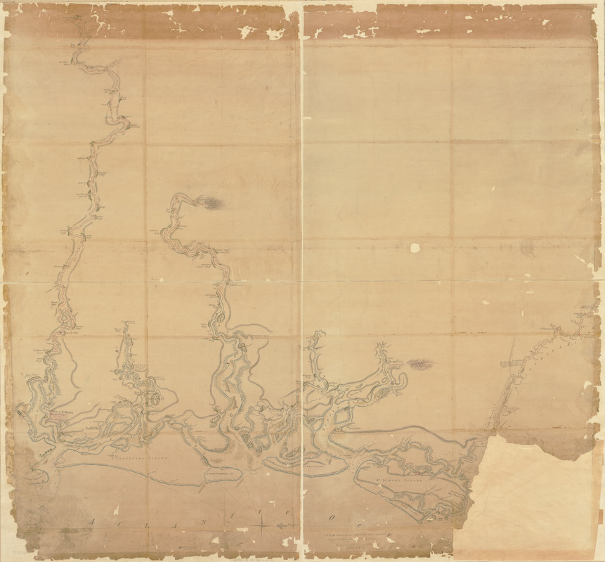
Map of the coast of Georgia, bordering on Camden and Glynn counties : showing also the course and soundings of the Alatamaha, Turtle, Crooked, St. Mary's, Great Satilla, and Little Satilla rivers.
This map is also available in American Revolutionary Geographies Online (ARGO), a collections portal especially built for material relating to the American Revolutionary War Era. Visit ARGO to learn more about this item and explore the historical geography of North America in the late eighteenth century.
Item Information
- Title:
- Map of the coast of Georgia, bordering on Camden and Glynn counties : showing also the course and soundings of the Alatamaha, Turtle, Crooked, St. Mary's, Great Satilla, and Little Satilla rivers.
- Date:
-
[1780?–1789?]
- Format:
-
Maps/Atlases
Manuscripts
- Location:
- Library of Congress Geography and Map Division
- Collection (local):
-
Library of Congress Collection
- Subjects:
-
Coasts--Georgia--Maps--Early works to 1800
Camden County (Ga.)--Maps, Manuscript--Early works to 1800
Glynn County (Ga.)--Maps, Manuscript--Early works to 1800
Rivers--Georgia--Camden County--Maps--Early works to 1800
Rivers--Georgia--Glynn County--Maps--Early works to 1800
Manuscript maps--Early works to 1800
- Places:
-
Camden (county)
Glynn (county)
- Extent:
- 1 manuscript map : hand col. ; 131 x 139 cm.
- Terms of Use:
-
No known copyright restrictions.
This work is licensed for use under a Creative Commons Attribution Non-Commercial Share Alike License (CC BY-NC-SA).

- Scale:
-
Scale ca. 1:70,000
- Language:
-
English
- Catalog Record:
-
https://lccn.loc.gov/73691562
- Notes:
-
Manuscript, pen-and-ink and watercolor.
Oriented with north to the right.
Relief shown pictorially and by shading. Soundings shown in fathoms and feet.
Shows landowners.
- Notes (citation):
-
LC Maps of North America, 1750-1789, 1597
- Identifier:
-
ar159700z


