Search Constraints
Search Results
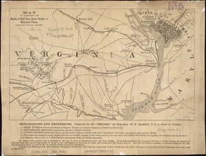

![Map of the battlefield of Bull Run, Virginia. Brig. Gen. Irvin McDowell commanding the U.S. forces, Gen. [P.] G.T. Beauregard commanding the Confederate forces, July 21st 1861](https://bpldcassets.blob.core.windows.net/derivatives/images/commonwealth:ww72bp023/image_thumbnail_300.jpg)


32. Bermuda Hundred
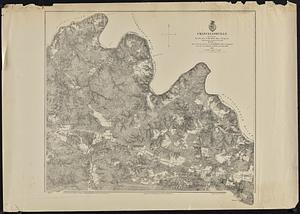
33. Chancellorville
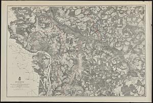
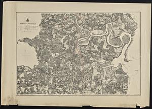
35. Richmond
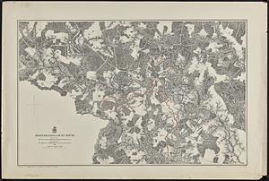
37. Totopotomoy

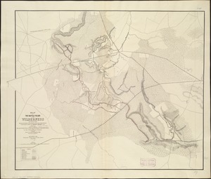
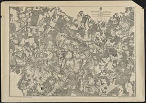
38. The Wilderness


40. 1630 shoreline


46. 227 Harzgerode

47. 305 Glatz


49. 4 Kinten

![[A chart of Boston Bay and vicinity]](https://bpldcassets.blob.core.windows.net/derivatives/images/commonwealth:cj82m2976/image_thumbnail_300.jpg)


91. Adriatic


