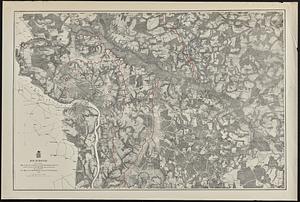
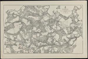
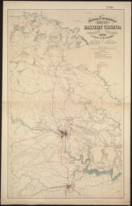
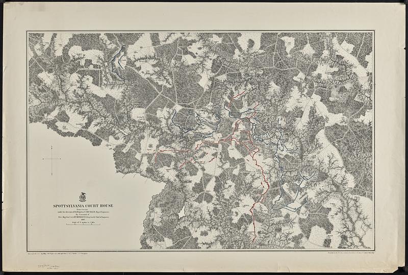
Spottsylvania Court House
Item Information
- Title:
- Spottsylvania Court House
- Cartographer:
- Weyss, J. E.
- Cartographer:
- Michler, N. (Nathaniel), 1827-1881
- Cartographer:
- Theilkuhl, F.
- Cartographer:
- Strasser, J.
- Cartographer:
- Thompson, G. (Gilbert), 1839-1909
- Contributor:
- United States. Army. Corps of Engineers
- Printer:
- New York Lithographing, Engraving and Printing Co.
- Name on Item:
-
from surveys under the direction of Bvt. Brig. Gen. N. Michler, Maj. of Engineers, by command of Bvt. Maj. Genl. A.A. Humphreys, Brig. Genl. & Chief of Engineers ; surveyed & drawn by Maj. J.E. Weyss, assisted by F. Theilkuhl, J. Strasser, & G. Thompson
- Date:
-
[1867]
- Format:
-
Maps/Atlases
- Genre:
-
Military maps
- Location:
-
Boston Public Library
Norman B. Leventhal Map & Education Center - Collection (local):
-
David Judkins Weaver Papers
- Subjects:
-
Spotsylvania County (Va.)--History--Civil War, 1861-1865--Maps
United States--History--Civil War, 1861-1865--Maps
Virginia--History--Civil War, 1861-1865--Maps
Spotsylvania Court House, Battle of, Va., 1864--Maps
- Places:
-
VirginiaSpotsylvania (county)Spotsylvania Court House Battlefield (historic site)
- Extent:
- 1 map : hand colored ; 50 x 79 cm
- Terms of Use:
-
No known copyright restrictions.
No known restrictions on use.
- Publisher:
-
[Washington, D.C.?] ; [New York] :
[Corps of Engineers?] ; N.Y. Lithographing, Engraving and Printing Co.
- Scale:
-
Scale 1:21,120. 3 inches to 1 mile
- Language:
-
English
- Notes:
-
Shows location of Union and Confederate forces and names of some rural landowners.
Relief shown by hachures.
In lower right corner: Photolith. by the N.Y. Lithographing, Engraving & Printing Co., Julius Bien, Supt.
- Notes (date):
-
This date is inferred.
- Identifier:
-
06_01_018874
- Call #:
-
Weaver folder 35 no.12