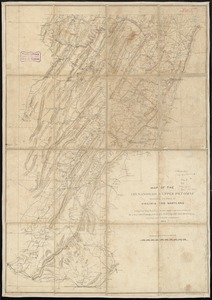
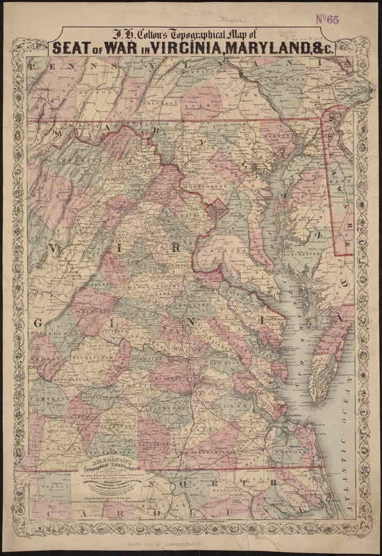
J.H. Colton's Topographical map of seat of war in Virginia, Maryland, &c
Item Information
- Title:
- J.H. Colton's Topographical map of seat of war in Virginia, Maryland, &c
- Title (alt.):
-
Seat of war in Virginia, Maryland, &c
- Creator:
- Colton, J. H. (Joseph Hutchins), 1800-1893
- Date:
-
[1864?]
- Format:
-
Maps/Atlases
- Location:
-
Boston Public Library
Norman B. Leventhal Map & Education Center - Collection (local):
-
Norman B. Leventhal Map & Education Center Collection
- Subjects:
-
Virginia--History--Civil War, 1861-1865--Maps
Maryland--History--Civil War, 1861-1865--Maps
Delaware--History--Civil War, 1861-1865--Maps
North Carolina--History--Civil War, 1861-1865--Maps
United States--History--Civil War, 1861-1865--Maps
- Places:
-
Virginia
North Carolina
Maryland
Delaware
- Extent:
- 1 map : hand col. ; 63 x 50 cm.
- Terms of Use:
-
No known copyright restrictions.
No known restrictions on use.
- Publisher:
-
[New York] :
J.H. Colton's Geographical Establishment, No. 172 William St.
- Scale:
-
Scale [1:760,320]. 12 miles = 1 in.
- Language:
-
English
- Notes:
-
Relief shown by hachures.
Prime meridian: Washington.
"Entered according to Act of Congress in the year 1855 by J.H. Colton & Co. in the Clerks Office of the district court of the United States in the southern district of New York."
- Identifier:
-
06_01_007469
- Call #:
-
G3880 1864 .C6
- Barcode:
-
39999059031722