Search Constraints
Search Results
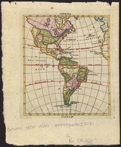
201. Amerika


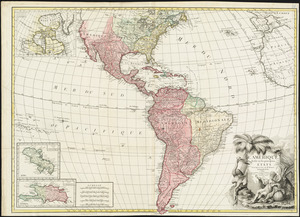
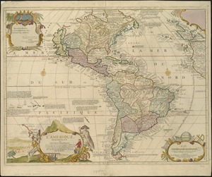
203. L'Amérique

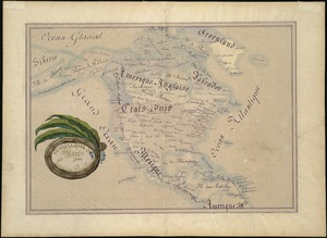
206. Amérique du Nord
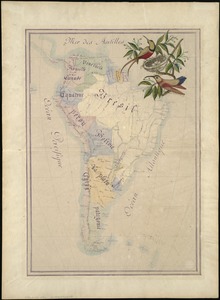
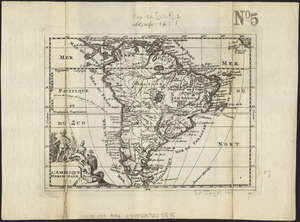
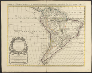
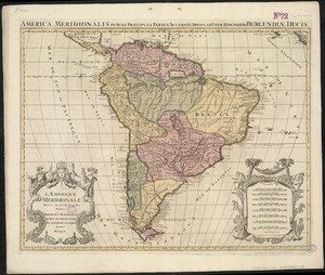
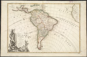
207. Amérique du Sud


![[Amerique septentrionale]](https://bpldcassets.blob.core.windows.net/derivatives/images/commonwealth:8336h2955/image_thumbnail_300.jpg)


230. Amherst, Mass


![[An unfinished tracing of Joshua Fisher's copy on parchment of Oliver's paper plat of land in Dorchester, made in 1661]](https://bpldcassets.blob.core.windows.net/derivatives/images/commonwealth:wd376179d/image_thumbnail_300.jpg)

235. Anatolia and Armenia


244. Anglia Regnum


248. Annexation map


251. Antigoa

252. Antigua


255. Antwerp : or Anvers


260. Appleton St. Woonerf


289. Arizona


293. Arragonia regnum


297. Ashburnham, Mass

298. Ashland & Bayfield

