Armour food source map

Item Information
- Title:
- Armour food source map
- Publisher:
- Armour and Company
- Name on Item:
-
Lehnhardt
- Date:
-
[ca. 1950–1959]
- Format:
-
Maps/Atlases
- Genre:
-
Pictorial maps
- Location:
-
Boston Public Library
Norman B. Leventhal Map & Education Center - Collection (local):
-
Norman B. Leventhal Map & Education Center Collection
- Subjects:
-
United States--Maps
Food supply--United States--Maps
Food industry and trade--United States--Maps
Agriculture--United States--Maps
Farm produce--United States--Maps
- Places:
-
United States
- Extent:
- 1 map : color ; on sheet 62 x 94 cm, folded to 21 x 16 cm
- Terms of Use:
-
No known copyright restrictions.
No known restrictions on use.
- Publisher:
-
Chicago :
Armour and Co.
- Scale:
-
Scale not given
- Language:
-
English
- Notes:
-
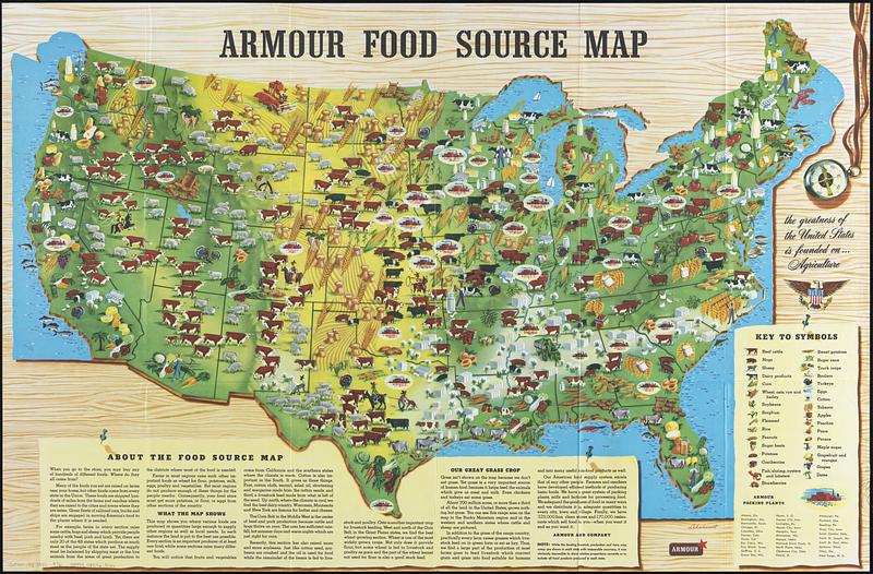
Shows food sources pictorially.
Covers contiguous U.S. only.
Includes text, color illustrations, and list of 33 Armour packing plants.
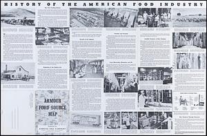
Text, "History of the American food industry," and illustrations on verso.
- Identifier:
-
06_01_018282_A
06_01_018282_B
- Call #:
-
G3701.J1 1950 .A76
- Barcode:
-
39999085965166


